
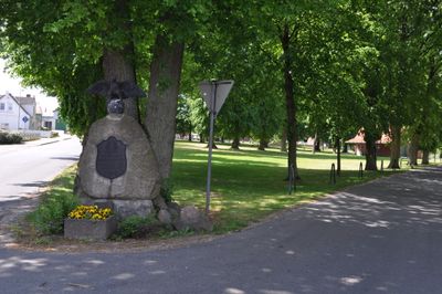
Village green, Dorfanger; spätmittelalterlich; dreigeteilte Platzanlage mit Altbaumbestand, Lindenreihen, Doppeleiche und Kriegerdenkmal
Location: Leezen
Address: Hans-Jacob-Möller-Straße
GPS coordinates: 53.87005,10.24790
Latest update: March 8, 2025 08:02
Manoir de Grabau
7.3 km
Nütschau Priory
7.4 km
Tralau Manor
5.2 km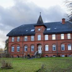
Traventhal House
5.2 km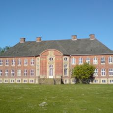
Borstel Manor House
6.6 km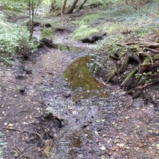
Canal Alster-Trave
7.7 km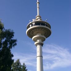
Fernmeldeturm Neverstaven
5.6 km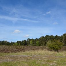
Wittenborner Heide
7.2 km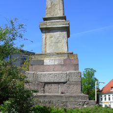
Rantzau-Obelisk
8.2 km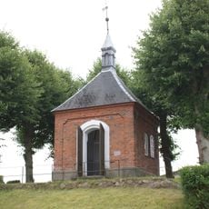
Rantzau-Kapelle
8.2 km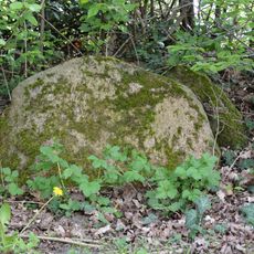
Dolmen von Wittenborn
6 km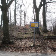
Grabhügel bei Högersdorf-Rotenhahn
6.3 km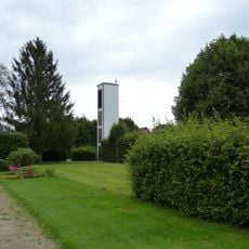
Kapelle / Apostel-Johannes-Kirche
8.1 km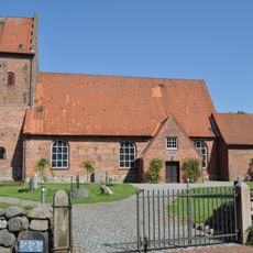
Kirche mit Ausstattung
7.8 km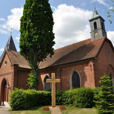
Kirche Leezen
293 m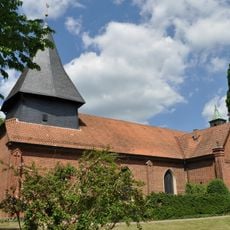
Kirche mit Ausstattung
293 m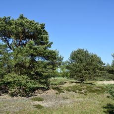
Barker Heide
8 km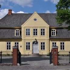
Hamburger Straße 25
8.3 km
Barker und Wittenborner Heide
8.3 km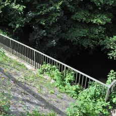
Brücke über die Trave
7 km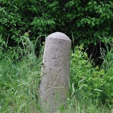
Meilenstein
2.2 km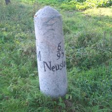
Meilenstein
1.6 km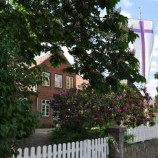
Heiderfelder Straße 9
261 m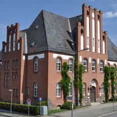
Hamburger Straße 29
8.3 km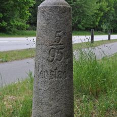
Meilenstein
5.6 km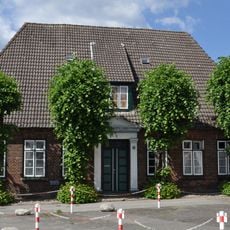
Wohnhaus Oldesloer Straße 51
8.3 km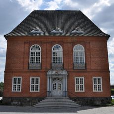
Kreishaus
8.2 km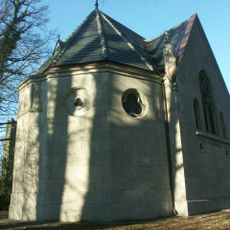
Kapelle Grabau
7.3 kmVisited this place? Tap the stars to rate it and share your experience / photos with the community! Try now! You can cancel it anytime.
Discover hidden gems everywhere you go!
From secret cafés to breathtaking viewpoints, skip the crowded tourist spots and find places that match your style. Our app makes it easy with voice search, smart filtering, route optimization, and insider tips from travelers worldwide. Download now for the complete mobile experience.

A unique approach to discovering new places❞
— Le Figaro
All the places worth exploring❞
— France Info
A tailor-made excursion in just a few clicks❞
— 20 Minutes