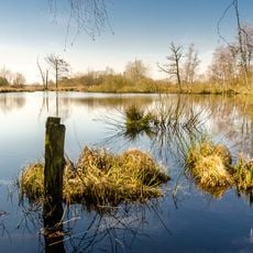
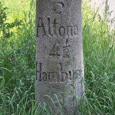
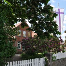
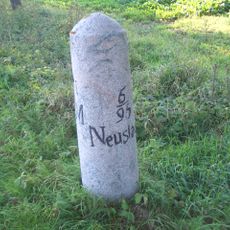
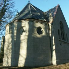
Canal Alster-Trave, Summit level canal between Hamburg and Schleswig-Holstein, Germany.
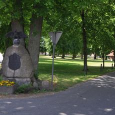
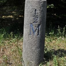
The Alster-Beste Canal is the only fully artificial section of a 91-kilometre summit-level waterway between Hamburg and Lübeck, dug 14 metres wide and 1.7 metres deep. It runs from Stegen through the Nienwohlder Moor, the highest point on the route, to Sülfeld, where it once met the Norderbeste. Since 2005 a path for walkers and cyclists follows its eight-kilometre course.
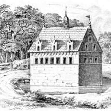
Construction began in 1526 after Hamburg and Lübeck reached an agreement with King Frederick I of Denmark for financing. The waterway operated only until 1550, when it was eventually abandoned.
The canal's name survives in local usage: the stretch near Sülfeld is called Alter Alsterkanal, and the section between Stegen and the Mühlenbach confluence is known as Alte Alster. The eight-kilometre cut between Stegen and Sülfeld was the only fully artificial part; the rest used the canalised Alster and Norderbeste. Since 2005 a walking and cycling trail follows that stretch.
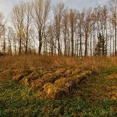
A walking and cycling trail opened in 2005 along the full eight kilometres of the Alster-Beste stretch, from Stegen past the Nienwohlder Moor to Sülfeld. The moor lies on the watershed between North Sea and Baltic and is the highest point of the route, so expect soft, wet ground there. The canal itself now ends in western Sülfeld and no longer reaches the Norderbeste.
This was a joint venture between two rival trading cities trying to create a more direct commerce route. Its brief operational period reveals how early canal projects often struggled with practical or economic challenges.
The community of curious travelers
AroundUs brings together thousands of curated places, local tips, and hidden gems, enriched daily by 94,368 contributors worldwide.