
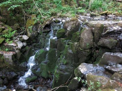
Teufelsmühle SSE von Holzberg, Geotop in Landkreis Rhön-Grabfeld in Bavaria, Germany
Location: Bischofsheim an der Rhön
Elevation above the sea: 700 m
Length: 20 m
Width: 3 m
GPS coordinates: 50.43519,10.00897
Latest update: April 8, 2025 08:42
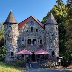
Jagdschloss
466 m
Himmeldunkberg
3.8 km
Hohe Hölle
3.4 km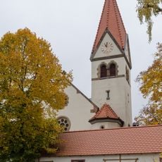
Kirche
3.8 km
Kirchturm
3.7 km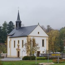
Kirche
3.8 km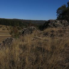
Lange Rhön
2 km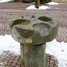
Eichstein
3.8 km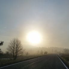
Landschaftsschutzgebiet Hohe Rhön
3.4 km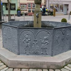
Marktbrunnen
3.8 km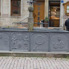
Marktbrunnen
3.8 km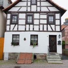
Wohnhaus
3.8 km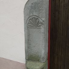
Hoftor
3.8 km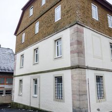
Krankenhaus
3.8 km
Bayerische Hohe Rhön
3.8 km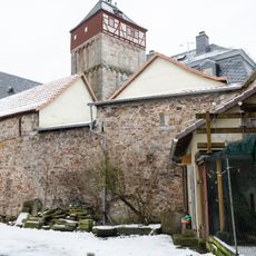
Gemeindebrauhaus
3.7 km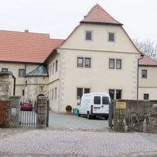
Forstamt
3.6 km
Armenhaus
3.7 km
Gasthaus
3.8 km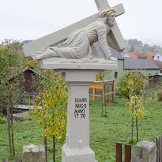
Kreuzschlepper
3.8 km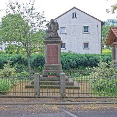
Kriegerdenkmal
3.3 km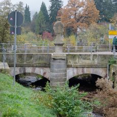
Bogenbrücke
3.7 km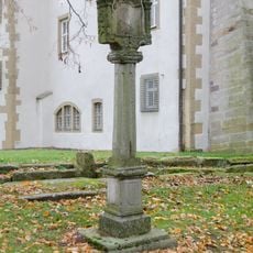
Bildstock
3.7 km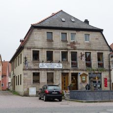
Gasthaus
3.8 km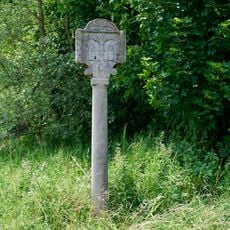
Bildstock
3.2 km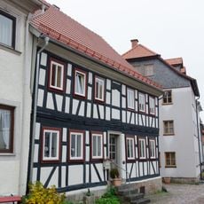
Wohnhaus
3.8 km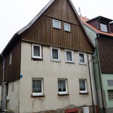
Kellertür
3.8 km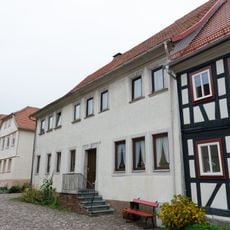
Ackerbürgerhaus
3.8 kmVisited this place? Tap the stars to rate it and share your experience / photos with the community! Try now! You can cancel it anytime.
Discover hidden gems everywhere you go!
From secret cafés to breathtaking viewpoints, skip the crowded tourist spots and find places that match your style. Our app makes it easy with voice search, smart filtering, route optimization, and insider tips from travelers worldwide. Download now for the complete mobile experience.

A unique approach to discovering new places❞
— Le Figaro
All the places worth exploring❞
— France Info
A tailor-made excursion in just a few clicks❞
— 20 Minutes