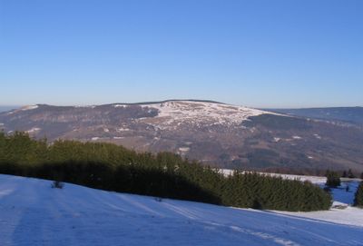
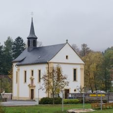
Himmeldunkberg, Mountain summit in Rhön range, Germany.
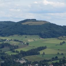
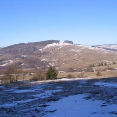
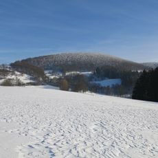
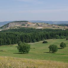
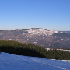
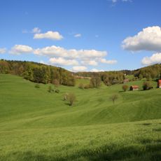
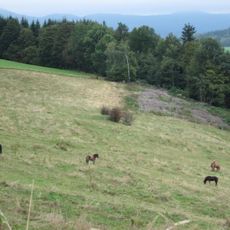
Himmeldunkberg is a mountain summit in the Rhön range that rises to 888 meters with steep northern slopes and open southern areas. The northern sides are covered in mixed deciduous forest, while the southern areas feature varied plant growth.
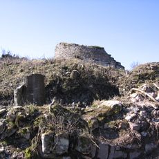
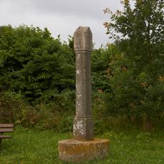
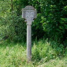
The summit contains boundary markers from 1872 that marked the former border between the Kingdom of Bavaria and the Kingdom of Prussia. These stones show how the mountain once served as a natural dividing line between two states.
The summit area features a nature monument called Hexenbuchen with distinctive beech trees that define the landscape. These trees are part of the local natural identity and show how nature works in a particular way here.
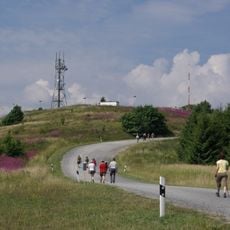
Multiple hiking trails lead to the summit, with access points available from Oberweißenbrunn, Bischofsheim, or the Schwedenwall parking area for different hiking experiences. Your choice of starting point depends on the route length and difficulty you prefer.
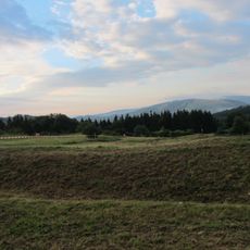
The Rhine-Weser watershed runs directly through the summit and separates the states of Bavaria and Hesse. This means rain falling on one side of the peak flows toward the Rhine, while rain on the other side flows toward the Weser.
The community of curious travelers
AroundUs brings together thousands of curated places, local tips, and hidden gems, enriched daily by 60,000 contributors worldwide.