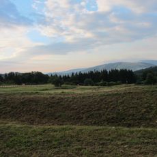
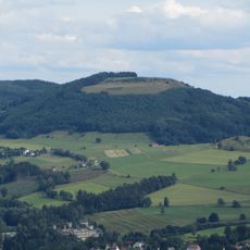
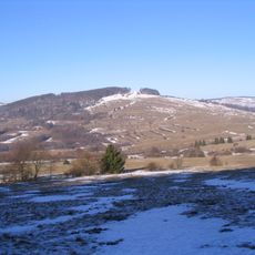
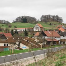
Hohe Hölle, Mountain summit in Bavaria and Hesse, Germany.
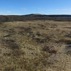
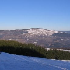
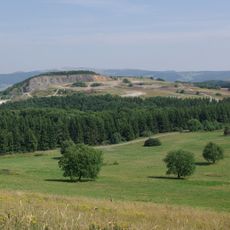
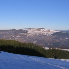
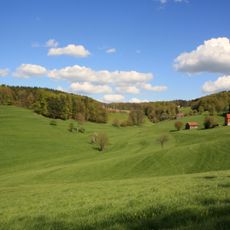
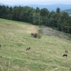
Hohe Hölle is an 894 m mountain on the Bavarian-Hessian border in the Rhön, the northeasternmost summit of the Dammersfeldrücken ridge. Its highest point lies just under 50 m west of the border on Hessian ground, forming a double summit with the Himmeldunkberg about 500 m to the south-southwest. The Rhine-Weser watershed runs over the ridge, and the summit is reached on foot from the Schwedenwall in 20 to 30 minutes.
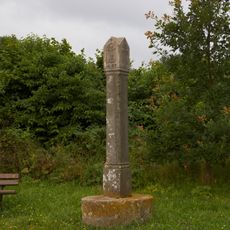
Since the establishment of state borders in the 19th century, this mountain has marked the natural boundary line between Bavaria and Hesse. Its role as a border landmark has defined its historical importance.
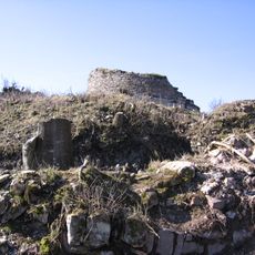
The name Hahl, Höhl or Hähl for the Schwedenwall rampart on the northeast slope survives in local speech. The earthwork, up to 22 m wide, began as part of a medieval Landwehr border defence before Swedish troops probably threw up the triangular sconce in the Thirty Years' War. Walkers on the way to the summit pass it.
The summit is accessible via marked trails from both the Bavarian and Hessian sides, with parking available at the base. The routes are well-marked and vary in difficulty.
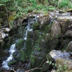
The summit lies just under 50 metres west of the Bavarian-Hessian border, on the Hessian side, and forms a double peak with the Himmeldunkberg about 500 metres to the south-southwest. The Rhein-Weser watershed runs over the mountain: the Moorwasser drains east towards the Rhine, the Pfortwasser northwest towards the Weser.
The community of curious travelers
AroundUs brings together thousands of curated places, local tips, and hidden gems, enriched daily by 94,530 contributors worldwide.