
Ortsfelsen mit Höhlenruinen WNW von Nasnitz, Geotop in Landkreis Bayreuth in Bavaria, Germany
Location: Veldensteiner Forst
Elevation above the sea: 430 m
Length: 300 m
Width: 300 m
Website: http://www.umweltatlas.bayern.de/mapapps/resources/reports/geotope/generateBericht.pdf?additionallayerfieldvalue=472R143
GPS coordinates: 49.71834,11.55018
Latest update: April 26, 2025 12:17
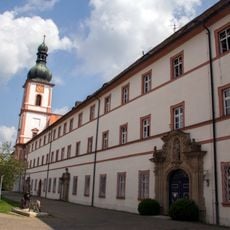
Michelfeld Abbey
3.1 km
Pegnitzau zwischen Ranna und Michelfeld
3.3 km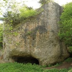
Burgstall Gernotenstein
3.4 km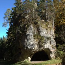
Großer Lochstein bei Horlach
1.9 km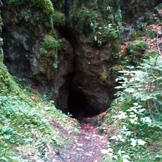
Einsturzdolinen Eislöcher (D71) SE von Bronn
3.8 km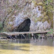
Quellaustritt Seeweiher (D68) WSW von Michelfeld
2.9 km
Kleiner Lochstein mit Höhlenruine (D72) W von Michelfeld
3.2 km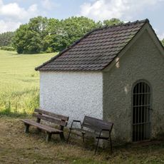
Kapelle Hl. Dreifaltigkeit
2.8 km
Friedhof
2.7 km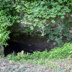
Bettelküche bei Staubershammer
2.9 km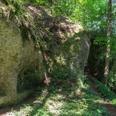
Guckerlochfelsen E von Michelfeld
3.5 km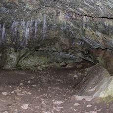
Hanslhöhle
2.9 km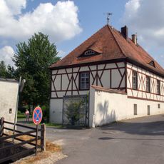
Fachwerkbau mit Walmdach
3.2 km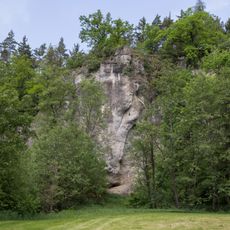
Schmelcherfels SW von Steinamwasser
3.3 km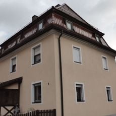
Wohnhaus
3.1 km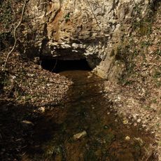
Wasserberg bei Pegnitz
3.4 km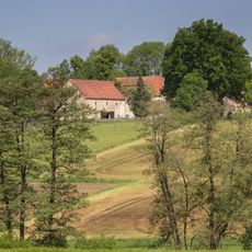
Bauernhaus
3.5 km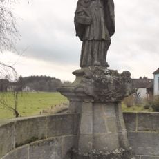
Brückenfigur des heiligen Johann von Nepomuk
3 km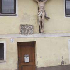
Kruzifix und Sandsteinrelief
3.1 km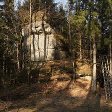
Dolomitturm Zuckerhut SE von Horlach
883 m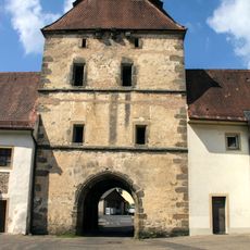
Brauerei-, Stallungs- und Pförtnergebäude
3.1 km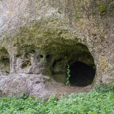
Guckerloch
3.4 km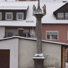
Bildstock
2.7 km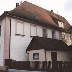
Ehemaliges Klosterrichterhaus
3.1 km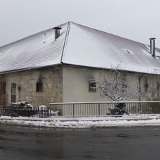
Ehemalige Klosterökonomie, sogenanntes Ökonomiehaus des ehemaligen Ökonomiehofs
3.1 km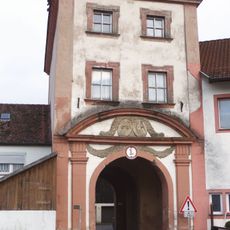
Torturm Michelfeld
3.1 km
Sandsteinbrüstung einer Brücke
3.1 km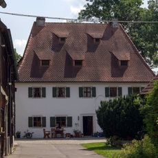
Ehemaliger Hammerhof
2.9 kmReviews
Visited this place? Tap the stars to rate it and share your experience / photos with the community! Try now! You can cancel it anytime.
Discover hidden gems everywhere you go!
From secret cafés to breathtaking viewpoints, skip the crowded tourist spots and find places that match your style. Our app makes it easy with voice search, smart filtering, route optimization, and insider tips from travelers worldwide. Download now for the complete mobile experience.

A unique approach to discovering new places❞
— Le Figaro
All the places worth exploring❞
— France Info
A tailor-made excursion in just a few clicks❞
— 20 Minutes