
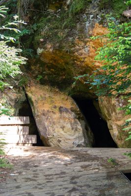
Kaltenbachquelle S von Dillberg, Geotop in Landkreis Neumarkt i.d.OPf. in Bavaria, Germany
Location: Berg
Elevation above the sea: 495 m
Length: 5 m
Width: 5 m
GPS coordinates: 49.31573,11.38963
Latest update: March 14, 2025 20:07
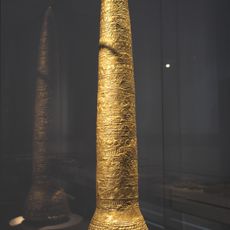
Golden Cone of Ezelsdorf-Buch
2.1 km
Bucher Höhle (Dillberg)
1.5 km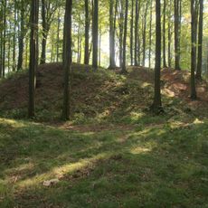
Burgruine Heinrichsbürg
2.6 km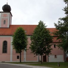
St. Johannes (Postbauer)
2.7 km
Deutschordensschloss Postbauer
2.7 km
St. Martin
3.3 km
Burgstall Pölling
3.3 km
Martin-Luther-Kirche
3 km
St. Jakobus
3.3 km
St. Peter und Paul
2.2 km
St. Antonius
1.2 km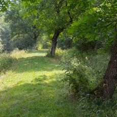
Erdbauten des Ludwig-Donau-Main-Kanals #14
3.1 km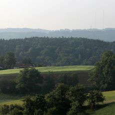
LSG Dillberg-Heinrichsberg
1.4 km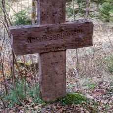
Steinkreuz am Brentenberg
2.3 km
Ausleitbauwerk des Hausheimer-Leitgraben
2.4 km
Goldkegeldenkmal Ezelsdorf
2.1 km
Heilige Dreifaltigkeit
3.4 km
Gruberbacheinleitung in den Kettenbach-Leitgraben
3.1 km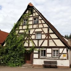
Ehemaliges Wohnstallhaus mit Bäckerei in Burgthann
3.2 km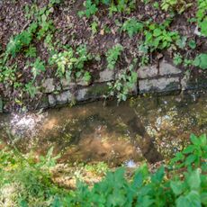
Hausheimer Leitgraben
3.2 km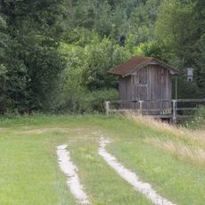
Ausleitbauwerk des Kettenbach-Leitgraben
2.9 km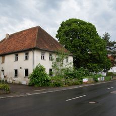
Pöllinger Hauptstraße 49 NM
3.3 km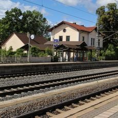
Station building at Postbauer-Heng
2.4 km
Grabenentlastung Hausheimer Bach
2.4 km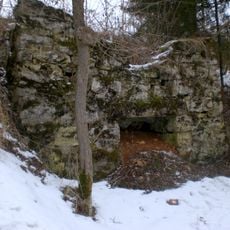
Limekiln at Dillberg
1.4 km
Gruberbachdurchlass des Kettenbach-Leitgraben
3.1 km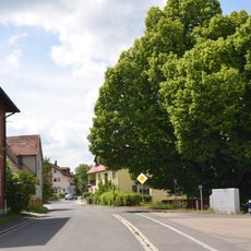
Die Schulhauslinde
3 km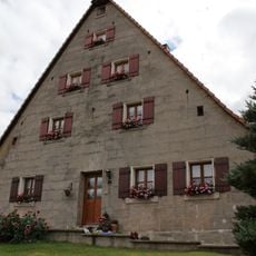
Ehemaliges Wohnstallhaus in Burgthann
3.1 kmVisited this place? Tap the stars to rate it and share your experience / photos with the community! Try now! You can cancel it anytime.
Discover hidden gems everywhere you go!
From secret cafés to breathtaking viewpoints, skip the crowded tourist spots and find places that match your style. Our app makes it easy with voice search, smart filtering, route optimization, and insider tips from travelers worldwide. Download now for the complete mobile experience.

A unique approach to discovering new places❞
— Le Figaro
All the places worth exploring❞
— France Info
A tailor-made excursion in just a few clicks❞
— 20 Minutes