
Buckelwiese und Dolinen bei Schleching, Geotop in Landkreis Traunstein in Bavaria, Germany
Location: Schleching
Elevation above the sea: 613 m
Length: 70 m
Width: 50 m
Website: http://www.umweltatlas.bayern.de/mapapps/resources/reports/geotope/generateBericht.pdf?additionallayerfieldvalue=189R012
GPS coordinates: 47.72137,12.38600
Latest update: July 1, 2025 16:53

Geigelstein
4.2 km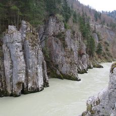
Entenlochklamm
3.6 km
Hochplatte
3.6 km
Breitenstein
4.5 km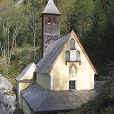
Maria Klobenstein
3.7 km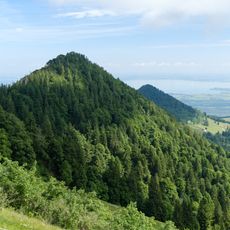
Friedenrath
4.7 km
Mettenhamer Filz
3 km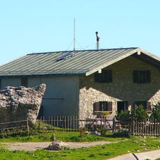
Steinlingalm
4.5 km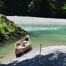
Durchbruchstal der Tiroler Achen
3.1 km
Burgstall Raiten
4.2 km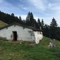
Blasialm
1.1 km
Süssener und Lanzinger Moos
5.5 km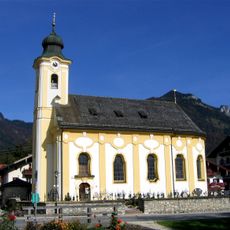
St. Remigius
733 m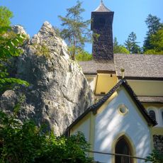
Lourdeskapelle, Klobenstein
3.7 km
Geigelstein
4 km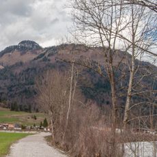
Rudersburg
4.4 km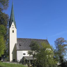
St. Maria zu den sieben Linden
4.2 km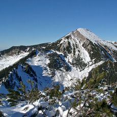
Geigelstein und Achentaldurchbruch
3.9 km
Mühlhornwand
5.4 km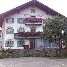
Bauernhaus
5.5 km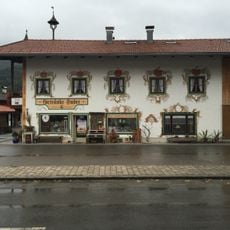
Ehemaliges Bauernhaus
732 m
Roßalpenkopf
4 km
Sandspitz
4.1 km
Wetterfahne
4.3 km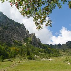
Geigelstein
2.4 km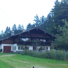
Kleinbauernhaus Mooshäusl
5.4 km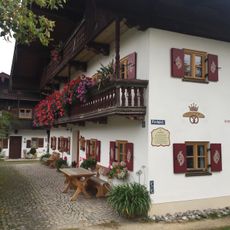
Ehemaliges Bauernhaus
795 m
Alm, sogenannte Sulzingalm
5.2 kmReviews
Visited this place? Tap the stars to rate it and share your experience / photos with the community! Try now! You can cancel it anytime.
Discover hidden gems everywhere you go!
From secret cafés to breathtaking viewpoints, skip the crowded tourist spots and find places that match your style. Our app makes it easy with voice search, smart filtering, route optimization, and insider tips from travelers worldwide. Download now for the complete mobile experience.

A unique approach to discovering new places❞
— Le Figaro
All the places worth exploring❞
— France Info
A tailor-made excursion in just a few clicks❞
— 20 Minutes