
Teilflächen im Hürtgenwald mit Schieferbergbauflächen von der Roten Wehe bis zum Gürzenicher Bruch
Teilflächen im Hürtgenwald mit Schieferbergbauflächen von der Roten Wehe bis zum Gürzenicher Bruch, nature reserve in Germany
Location: Hürtgenwald
Inception: 1990
GPS coordinates: 50.70878,6.32709
Latest update: March 22, 2025 06:06
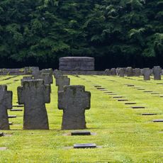
Kriegsgräberstätte Vossenack
4.1 km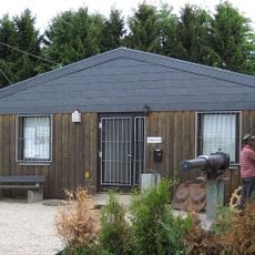
1944 Hürtgen Forest Museum
3.9 km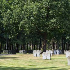
Ehrenfriedhof Hürtgen
2.3 km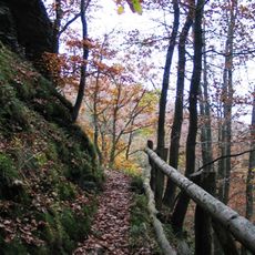
Wildnis Trail
3.8 km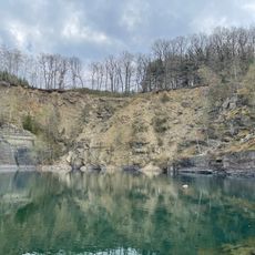
Schevenhütte Quarry
5.9 km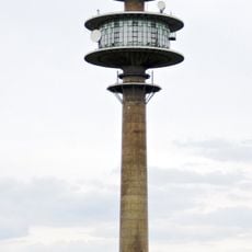
Fernmeldeturm Großhau
6.2 km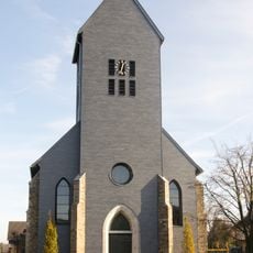
St. Josef
4.2 km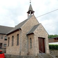
St Barbara's Chapel
6.2 km
Junkerhaus
5 km
Hürtgenwald-Gedächtnis-Kapelle
4.9 km
Marienkapelle Simonskall
5 km
Saint Mark Church
6.5 km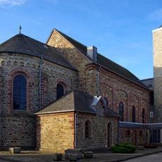
Heilig Kreuz
3.7 km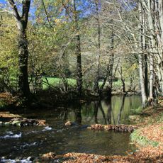
Kalltal und Nebentäler
4.8 km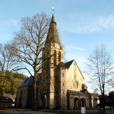
St. Johann Baptist
5.8 km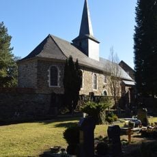
Evangelische Kirche Zweifall
5.2 km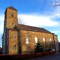
St. Apollonia
5.4 km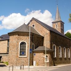
St. Rochus
5.2 km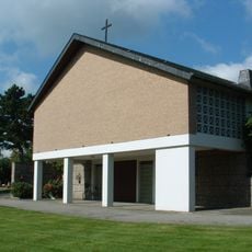
Kapelle Brandenberg
6 km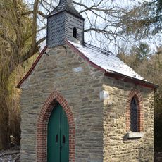
Donatuskapelle
5.3 km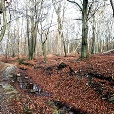
Kreitzberg
4.7 km
Kalltal und Nebentäler
5.6 km
Wehebachtalsystem mit Nebenbächen
893 m
Horstbend-Mausbachquelle
5.8 km
Mausbachtal
6.4 km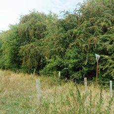
Derichsheck
6.5 km
Zwischen Vicht und Mausbach
5.5 km
Grosser und Kleiner Kranzberg
5.6 kmReviews
Visited this place? Tap the stars to rate it and share your experience / photos with the community! Try now! You can cancel it anytime.
Discover hidden gems everywhere you go!
From secret cafés to breathtaking viewpoints, skip the crowded tourist spots and find places that match your style. Our app makes it easy with voice search, smart filtering, route optimization, and insider tips from travelers worldwide. Download now for the complete mobile experience.

A unique approach to discovering new places❞
— Le Figaro
All the places worth exploring❞
— France Info
A tailor-made excursion in just a few clicks❞
— 20 Minutes