·

Enable Location

We need your location to show you interesting places around you

Discover nearby places

Find interesting locations and hidden gems around you

Precise directions

Get accurate directions and distances to places

Your location is never shared with other users. It's only used when you tap the location button.

Wildnis Trail

Log in to your account

Start exploring — it's free

Trusted by 62,753 travelers worldwide

Continue with Google
Continue with Apple
or

We will send you a code to connect

By continuing, you accept our Terms and Conditions and our Privacy Policy

Check your inbox

We've sent a pincode in your inbox. Please enter the code below.

Wildnis Trail

Wildnis Trail, Fernwanderweg

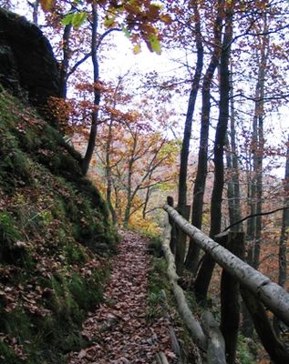
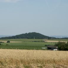
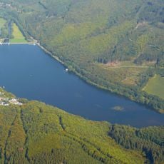
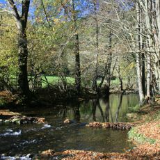
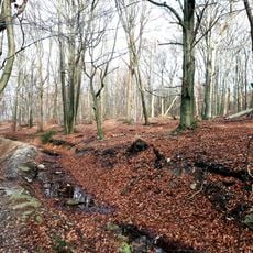
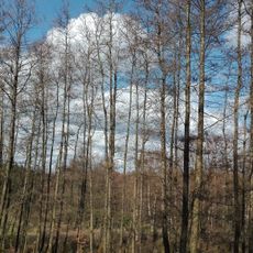
The Wildnis Trail is an approximately 85 kilometer long-distance path through Eifel National Park in North Rhine-Westphalia, divided into four stages of 18 to 25 kilometers each. It runs from Monschau-Höfen in the south to Zerkall in the north, passing through beech forests, alongside streams and meadows, and crossing the Urft reservoir.

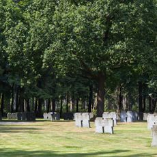
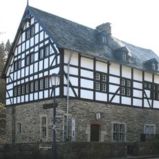
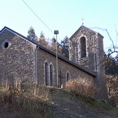
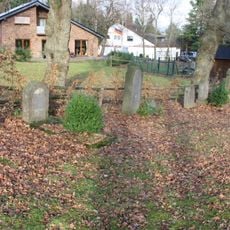
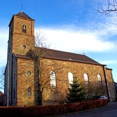
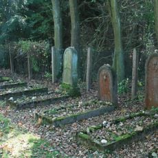
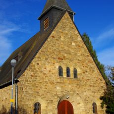
The area served as a military training ground until 2005 and has since begun returning to wilderness, while the national park was established in 2004 to allow nature to take its own course. The trail connects historic locations such as the monastery Mariawald and abandoned settlements that tell the story of human habitation in the region.

The trail passes through areas shaped by generations of inhabitants who once worked and lived here, now returning to wilderness. Visitors can encounter abandoned settlements like Wollseifen and the monastery Mariawald, which reveal how people adapted to this landscape over time.

The path is well marked with wildcat symbols and can be split flexibly into four stages or shorter sections depending on preference. Visitors should avoid walking during storms or bad weather due to falling branches, and must stay on marked paths as unexploded ordnance from the area's military past remains in the ground.

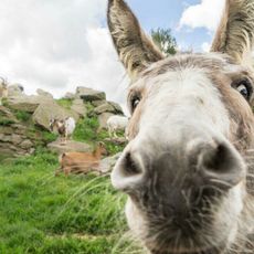
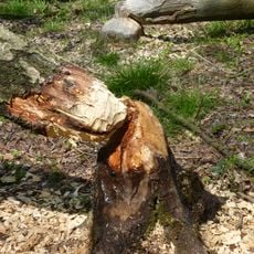
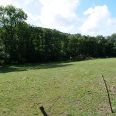
The area is undergoing a unique rewilding process where nature gradually reclaims land after decades of military use, with wilderness intended to develop organically over several decades. Hikers can observe firsthand how forests grow and animals like deer and foxes reclaim the landscape.

The community of curious travelers

AroundUs brings together thousands of curated places, local tips, and hidden gems, enriched daily by 60,000 contributors worldwide.

Start exploring
Inception
2007
GPS coordinates
50.69056,6.37222
Latest update
February 9, 2026 08:23
« Wildnis Trail - Fernwanderweg » is provided by Around Us (aroundus.com). Images and texts are derived from Wikimedia project under a Creative Commons license. You are allowed to copy, distribute, and modify copies of this page, under the conditions set by the license, as long as this note is clearly visible.

Discover hidden gems everywhere you go!

From secret cafés to breathtaking viewpoints, skip the crowded tourist spots and find places that match your style. Our app makes it easy with voice search, smart filtering, route optimization, and insider tips from travelers worldwide. Download now for the complete mobile experience.

Around Us App Screenshot

A unique approach to discovering new places

Le Figaro

All the places worth exploring

France Info

A tailor-made excursion in just a few clicks

20 Minutes

Around Us
Travel Guide & Maps
Download

Send to your phone

QR Code
1

Open the camera app on your mobile.

2

Point at the QR code with your camera. A notification will appear.

3

Tap the notification to open the link.