Enable Location

We need your location to show you interesting places around you

Discover nearby places

Find interesting locations and hidden gems around you

Precise directions

Get accurate directions and distances to places

Your location is never shared with other users. It's only used when you tap the location button.

Hill 400

Log in to your account

Start exploring — it's free

Trusted by 62,162 travelers worldwide

Continue with Google
Continue with Apple
or

We will send you a code to connect

By continuing, you accept our Terms and Conditions and our Privacy Policy

Check your inbox

We've sent a pincode in your inbox. Please enter the code below.

Hill 400

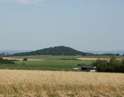
Hill 400, Strategic hill summit in Rur Eifel, Germany

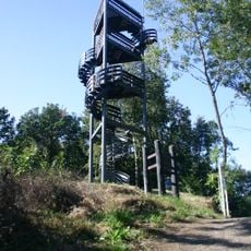
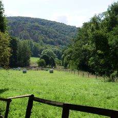
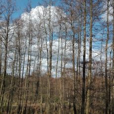
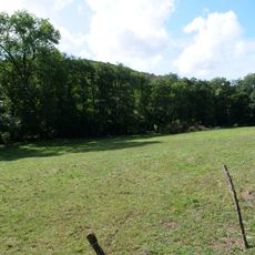
Hill 400 is a summit in the Rur Eifel region topped with an observation tower offering far-reaching views. The landscape around it consists of forested valleys and rolling hills that stretch out in all directions from the tower platform.

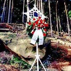
During World War II, this hill was the site of intense fighting between American and German troops as part of the Battle of Hürtgen Forest. The high ground made it a strategic position both sides fought hard to control.

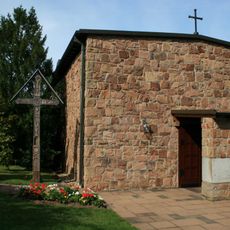
The observation tower shows how important this place has been to people in the region over time. Visitors can see the preserved fortifications and understand why controlling the high ground mattered so much here.

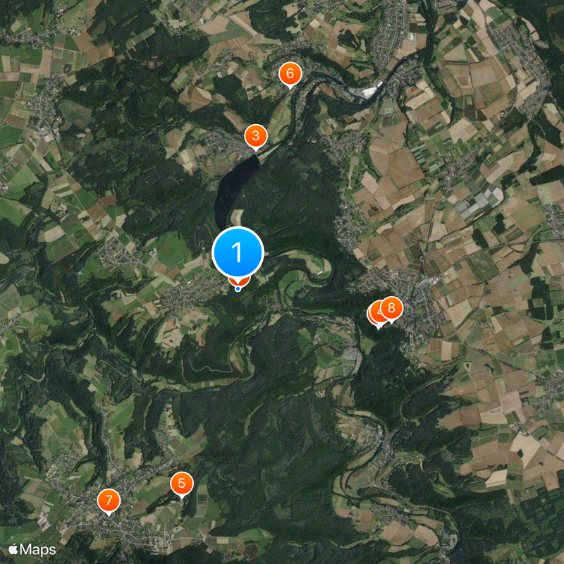
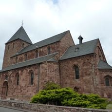
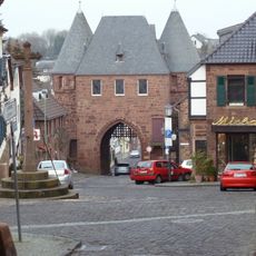
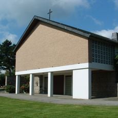
Marked hiking paths lead from the church parking area in Bergstein to the summit. The trails are well signposted and remain accessible even in changing weather conditions.

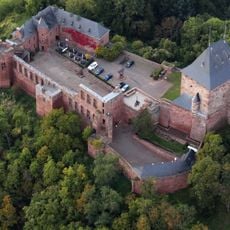
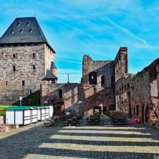
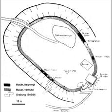
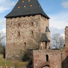
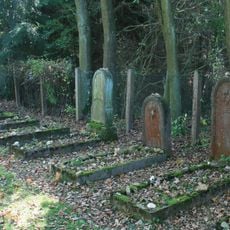
Medieval castle ruins from Berenstein sit at this location, layering centuries of defensive purposes across different eras. Walking the same ground where soldiers stood centuries apart creates a surprising connection between distant time periods.

The community of curious travelers

AroundUs brings together thousands of curated places, local tips, and hidden gems, enriched daily by 60,000 contributors worldwide.

Start exploring
Elevation above the sea
400.8 m
GPS coordinates
50.69458,6.44193
Latest update
December 19, 2025 22:24
« Hill 400 - Strategic hill summit in Rur Eifel, Germany » is provided by Around Us (aroundus.com). Images and texts are derived from Wikimedia project under a Creative Commons license. You are allowed to copy, distribute, and modify copies of this page, under the conditions set by the license, as long as this note is clearly visible.

Discover hidden gems everywhere you go!

From secret cafés to breathtaking viewpoints, skip the crowded tourist spots and find places that match your style. Our app makes it easy with voice search, smart filtering, route optimization, and insider tips from travelers worldwide. Download now for the complete mobile experience.

Around Us App Screenshot

A unique approach to discovering new places

Le Figaro

All the places worth exploring

France Info

A tailor-made excursion in just a few clicks

20 Minutes

Around Us
Travel Guide & Maps
Download

Send to your phone

QR Code
1

Open the camera app on your mobile.

2

Point at the QR code with your camera. A notification will appear.

3

Tap the notification to open the link.