
Landschaftsschutzgebiet St. Anton, protected landscape in Bavaria, Germany
Location: Kelheim
Inception: 1969
GPS coordinates: 48.69015,11.81636
Latest update: March 31, 2025 12:53
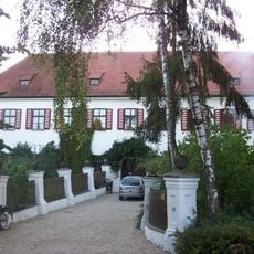
Schloss Ratzenhofen
907 m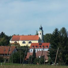
Mariä Lichtmess
2.8 km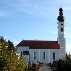
Maria Immaculata
2.2 km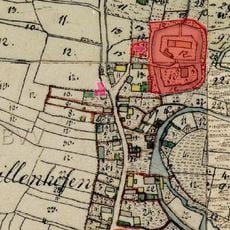
Burg Meilenhofen
1.7 km
Mariä Namen
1.8 km
Maria Immaculata
2.2 km
St.-Barbara-Kirche
3.6 km
Katholische Kirche St. Xystus
3.2 km
Heilig Kreuz
3.4 km
St. Anton
5 m
Kapelle St. Johann Baptist und Evangelist
2.9 km
Kapelle Sankt Johannes
1.9 km
Kapelle Sankt Nikolaus
2.8 km
St. Petrus
2.1 km
Wegkapelle
2.9 km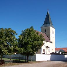
Katholische Kapelle Sankt Stephan
1.7 km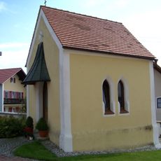
Seelenkapelle
3.5 km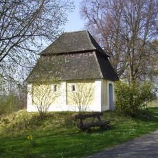
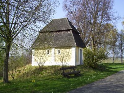
Feldkapelle
29 m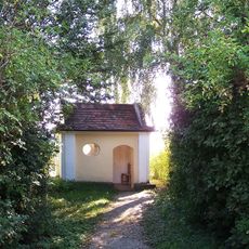
Feldkapelle zu den Vierzehn Nothelfern
166 m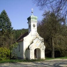
Kapelle
1.4 km
Kapelle
1.8 km
Maria Brünnl
2.4 km
Bauernhaus
2.1 km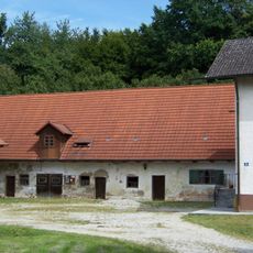
Bauernhaus
3.6 km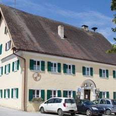
Gasthaus
2.7 km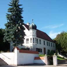
Pfarrhof
2.7 km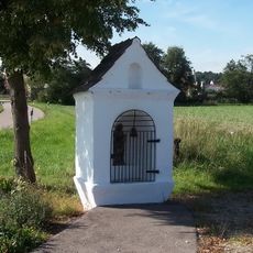
Bildstock St. Petrus
2.9 km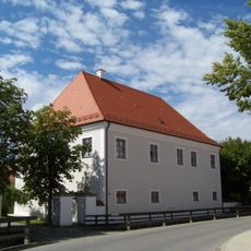
Pfarrhof, ehemalige Almosenstiftung
2.2 kmReviews
Visited this place? Tap the stars to rate it and share your experience / photos with the community! Try now! You can cancel it anytime.
Discover hidden gems everywhere you go!
From secret cafés to breathtaking viewpoints, skip the crowded tourist spots and find places that match your style. Our app makes it easy with voice search, smart filtering, route optimization, and insider tips from travelers worldwide. Download now for the complete mobile experience.

A unique approach to discovering new places❞
— Le Figaro
All the places worth exploring❞
— France Info
A tailor-made excursion in just a few clicks❞
— 20 Minutes