
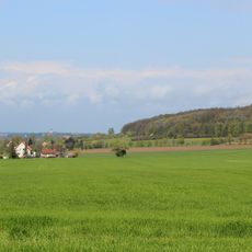
Täler um Weißenberg, protected area in the European Union defined by the habitats directive in Sachsen, Germany
Location: Hochkirch
Location: Löbau
Location: Rosenbach
Location: Weißenberg
Location: Hohendubrau
Location: Vierkirchen
Location: Malschwitz
Inception: 2002
GPS coordinates: 51.17036,14.64663
Latest update: June 2, 2025 14:54
Strohmberg
817 m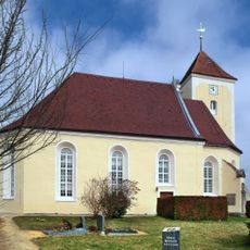
Kirche Nostitz
2.2 km
Lausker Skala
1.9 km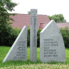
Jan-Kilian-Denkmal
2.4 km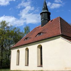
Kirche Kotitz
2.4 km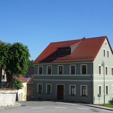
Wohnhaus und Nebengebäude Brauhausstraße 10
2.9 km
Alte Lohgerberei; Villa mit Einfriedung und Gerberei mit Dampfmaschine Wasserstraße 1, 1a
2.9 km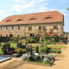
Kirchschule Weißenberg
3 km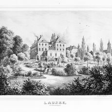
Rittergut und Gutspark Lauske (Sachgesamtheit) Lauske 35, 36, 37, 38, 48, 49, 49a, 50, 51
2.1 km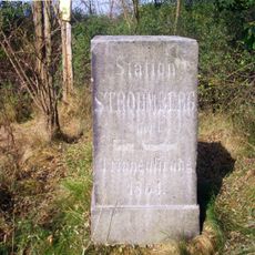
Station 47 Strohmberg
834 m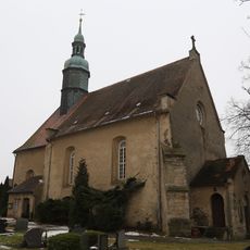
Kirche Weißenberg
3 km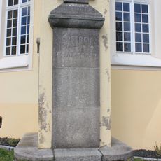
Gefallenendenkmal Nostitz/Nosaćicy
2.2 km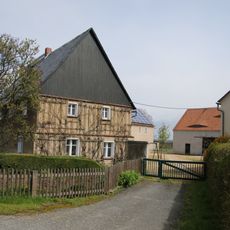
Vierseithof mit Wohnhaus, Wohnstallhaus und zwei Seitengebäuden Krappe 6; 8
2.6 km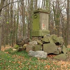
Gedenkstein (im Wald bei Nostitz)
1.2 km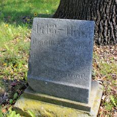
Lutherstein Nostitz 40 (neben)
2.2 km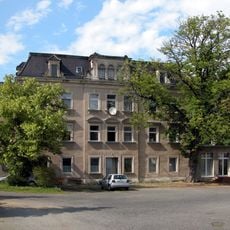
Herrenhaus des Rittergutes Särka 1
1.2 km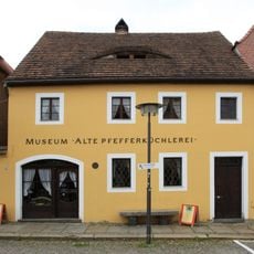
Alte Pfefferküchlerei
3 km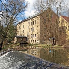
Obermühle Weißenberg
2.9 km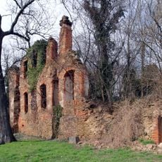
Schloss Nostitz
2.1 km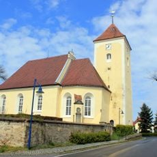
Church Nostitz
2.2 km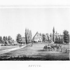
Rittergut Kotitz (Sachgesamtheit) Jan-Kilian-Straße 2, 4, 6
2.5 km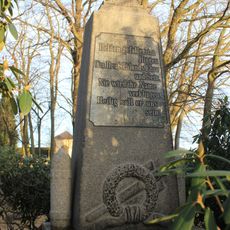
Denkmal für die Gefallenen des Ersten Weltkrieges, mit Ehrenhain Jan-Kilian-Straße (neben dem Friedhof)
2.3 km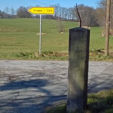
Wegestein Nostitz (am Abzweig zur Mühle)
2.8 km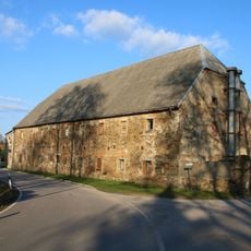
Einzeldenkmale der Sachgesamtheit Rittergut Lautitz: westliche Scheune, nördliches Wirtschaftsgebäude, die beiden aneinander gebauten südöstlichen Wirtschaftsgebäude, die Einfahrtspfeiler auf der Westseite sowie die Hofmauer (siehe auch Sachgesa
3 km
Friedhofshalle Jan-Kilian-Straße (auf dem Friedhof)
2.2 km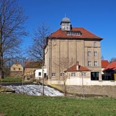
Mühle Grube
3 km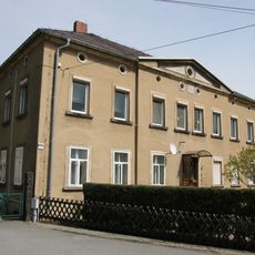
Wohnhaus eines Vierseithofes Krappe 17
2.5 km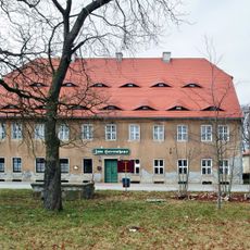
Rittergut Nostitz; Herrenhaus (Nr. 5), vier Wirtschaftsgebäude (Nr. 3, 4, 5a, 6) und südliche Gutsscheune des ehem Rittergutes Nostitz Nostitz 3, 4, 5, 5a, 6
1.9 kmReviews
Visited this place? Tap the stars to rate it and share your experience / photos with the community! Try now! You can cancel it anytime.
Discover hidden gems everywhere you go!
From secret cafés to breathtaking viewpoints, skip the crowded tourist spots and find places that match your style. Our app makes it easy with voice search, smart filtering, route optimization, and insider tips from travelers worldwide. Download now for the complete mobile experience.

A unique approach to discovering new places❞
— Le Figaro
All the places worth exploring❞
— France Info
A tailor-made excursion in just a few clicks❞
— 20 Minutes