
Mittlerer Schwarzwald zw. Gengenbach und Wolfach, protected area in the European Union defined by the habitats directive in Baden-Württemberg, Germany
Location: Oberwolfach
Location: Oberharmersbach
Location: Nordrach
Location: Zell am Harmersbach
Location: Gengenbach
Inception: 2004
GPS coordinates: 48.37610,8.12098
Latest update: August 6, 2025 15:25
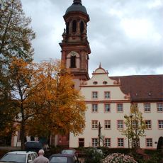
Gengenbach Abbey
8.3 km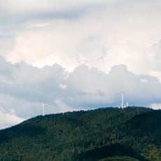
Brandenkopf
4.8 km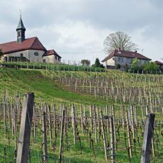
Jakobuskapelle auf dem Bergle
8.3 km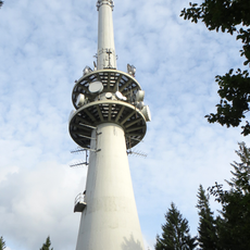
Sender Brandenkopf
4.8 km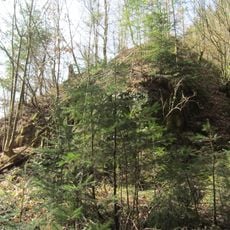
Waldstein Castle
6 km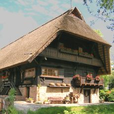
Heimatmuseum Fürstenberger Hof
3.4 km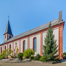
Pfarrkirche St. Symphorian
5.3 km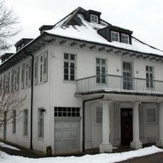
Museum Villa Haiss
5.1 km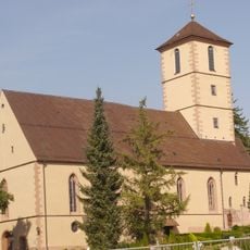
St. Martin (Gengenbach)
8.8 km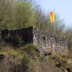
Ruine Walkenstein
8.6 km
Mühlstein
2.4 km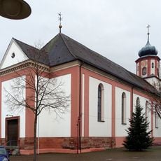
Pfarrkirche Kreuzerhöhung
9.2 km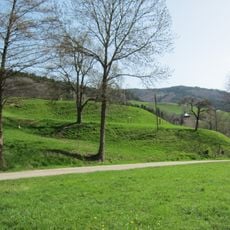
Fischerbach Castle
7.9 km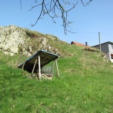
Fischerbacher Turm
9.3 km
Storchenturm
5.4 km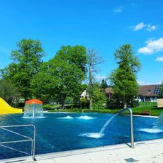
Familienbad Zell am Harmersbach
5.3 km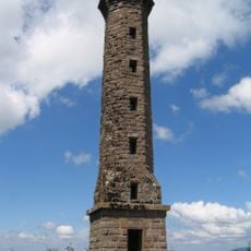
Moos-Tower
8.8 km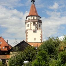
Niggelturm
8.5 km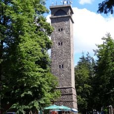
Brandenkopf Tower
4.8 km
Oberharmersbach
553 m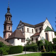
Stadtkirche St. Marien
8.3 km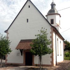
St. Nikolaus
7.4 km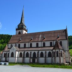
St. Ulrich
4 km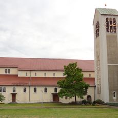
St. Blasius
7.8 km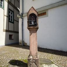
Bildstock
8.1 km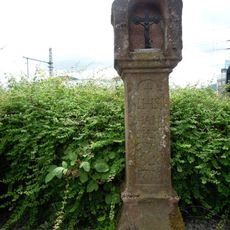
Bildstock
7.7 km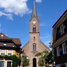
St. Gallus
577 m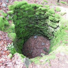
Wolfsgrube Unterentersbach
8.3 kmReviews
Visited this place? Tap the stars to rate it and share your experience / photos with the community! Try now! You can cancel it anytime.
Discover hidden gems everywhere you go!
From secret cafés to breathtaking viewpoints, skip the crowded tourist spots and find places that match your style. Our app makes it easy with voice search, smart filtering, route optimization, and insider tips from travelers worldwide. Download now for the complete mobile experience.

A unique approach to discovering new places❞
— Le Figaro
All the places worth exploring❞
— France Info
A tailor-made excursion in just a few clicks❞
— 20 Minutes