Enable Location

We need your location to show you interesting places around you

Discover nearby places

Find interesting locations and hidden gems around you

Precise directions

Get accurate directions and distances to places

Your location is never shared with other users. It's only used when you tap the location button.

Brandenkopf

Log in to your account

Start exploring — it's free

Trusted by 62,847 travelers worldwide

Continue with Google
Continue with Apple
or

We will send you a code to connect

By continuing, you accept our Terms and Conditions and our Privacy Policy

Check your inbox

We've sent a pincode in your inbox. Please enter the code below.

Brandenkopf

Brandenkopf, Mountain summit in Central Black Forest, Germany

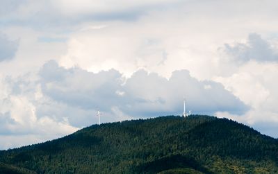
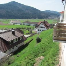
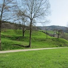
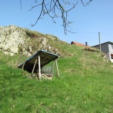
Brandenkopf is a mountain summit in the central Black Forest region at 945 meters elevation, situated between the valleys of the Kinzig, Wolf, and Harmersbach rivers. The terrain features varied slopes that shape the landscape around the peak.

The mountain received its current name following a forest fire in 1730 that replaced its earlier designation of Varnlehenskopf. This name change marked a turning point in the region's history.

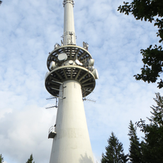
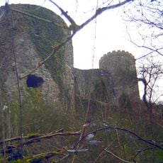
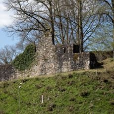
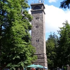
The stone tower on the summit serves as a gathering place where hikers from the surrounding areas meet and share views of the landscape. Over the decades, this structure has become a central landmark that people recognize and return to.

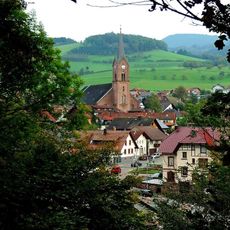
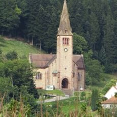
The area is accessible via multiple hiking trails that connect different starting points such as Wolfach, Hohenlochenhütte, and Oberharmersbach. Reaching the summit is feasible from all routes, though visitors should plan adequate time.

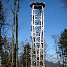
A 32-meter stone observation tower built in 1929 stands at the summit and has become a distinctive landmark over the decades. The tower provides visitors with an elevated viewpoint across the surrounding landscape.

The community of curious travelers

AroundUs brings together thousands of curated places, local tips, and hidden gems, enriched daily by 60,000 contributors worldwide.

Start exploring
Elevation above the sea
945 m
Part of
Central Black Forest
GPS coordinates
48.33859,8.15395
Latest update
December 12, 2025 07:52
« Brandenkopf - Mountain summit in Central Black Forest, Germany » is provided by Around Us (aroundus.com). Images and texts are derived from Wikimedia project under a Creative Commons license. You are allowed to copy, distribute, and modify copies of this page, under the conditions set by the license, as long as this note is clearly visible.

Discover hidden gems everywhere you go!

From secret cafés to breathtaking viewpoints, skip the crowded tourist spots and find places that match your style. Our app makes it easy with voice search, smart filtering, route optimization, and insider tips from travelers worldwide. Download now for the complete mobile experience.

Around Us App Screenshot

A unique approach to discovering new places

Le Figaro

All the places worth exploring

France Info

A tailor-made excursion in just a few clicks

20 Minutes

Around Us
Travel Guide & Maps
Download

Send to your phone

QR Code
1

Open the camera app on your mobile.

2

Point at the QR code with your camera. A notification will appear.

3

Tap the notification to open the link.