
Saarkohlenwald, protected area in the European Union defined by the habitats directive in Saarland, Germany
Location: Quierschied
Location: Saarbrücken
Location: Heusweiler
Inception: October 2000
GPS coordinates: 49.29577,6.99740
Latest update: April 22, 2025 10:22
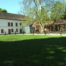
Schloss Neuhaus
1.3 km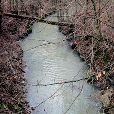
Fischbach
1.4 km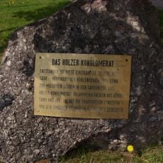
Holzer Konglomerat
2.9 km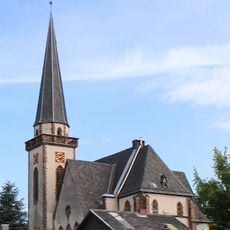
Kreuzkirche
2.8 km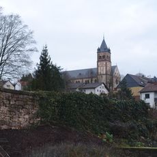
St. Josef
2.1 km
Waldschutzgebiet Steinbachtal / Netzbachtal
630 m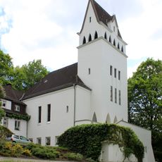
Evangelische Kirche
2.4 km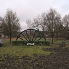
Bergbaudenkmal
2.9 km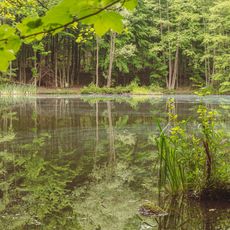
State forest Saarbrücken
2.8 km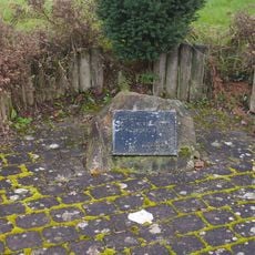
War memorial
3.4 km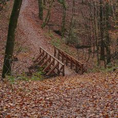
Brücke
3.4 km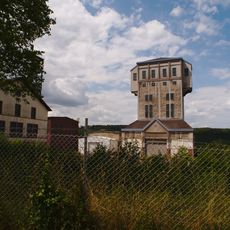
Förderturm Schacht IV
2.1 km
Saarkohlenwald
1.7 km
Frohn-Wald-Weg
3.4 km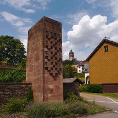
War memorial Fischbach
2 km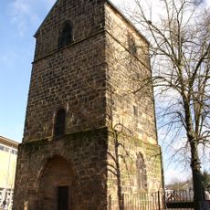
Old Tower
3.4 km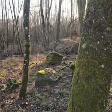
Holzer Freibad
3.2 km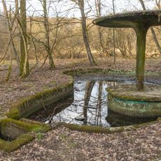
Fischbachbad
2.2 km
Schacht 10
3.3 km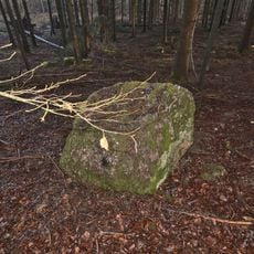
Steinblöcke
3.1 km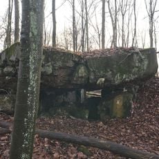
Regelbau 23 in Riegelsberg
3.3 km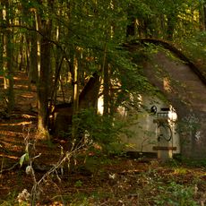
Batshed
2.7 km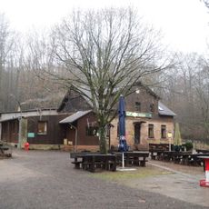
Naturfreundehaus Kirschheck
2.8 km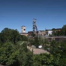
Fördergerüst Schacht II
2 km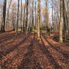
Hohlenstein
3.2 km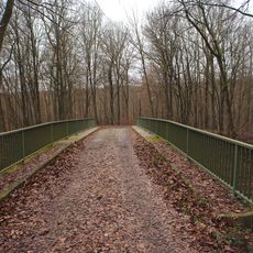
Bridge
2.9 km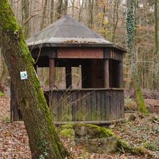
Hiking shelter
3.4 km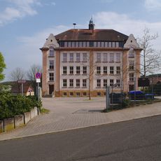
Mozartschule
3.1 kmReviews
Visited this place? Tap the stars to rate it and share your experience / photos with the community! Try now! You can cancel it anytime.
Discover hidden gems everywhere you go!
From secret cafés to breathtaking viewpoints, skip the crowded tourist spots and find places that match your style. Our app makes it easy with voice search, smart filtering, route optimization, and insider tips from travelers worldwide. Download now for the complete mobile experience.

A unique approach to discovering new places❞
— Le Figaro
All the places worth exploring❞
— France Info
A tailor-made excursion in just a few clicks❞
— 20 Minutes