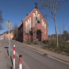
Quierschied, municipality of Germany
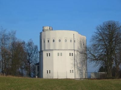
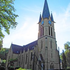
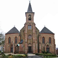
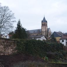
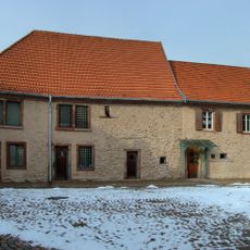
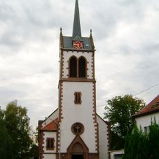
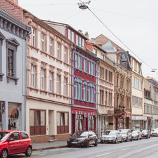
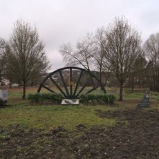
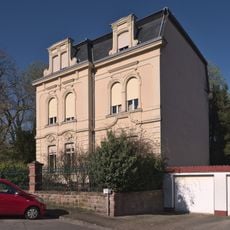
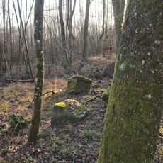
Quierschied is a municipality in the Regionalverband Saarbrücken, made up of several villages including Göttelborn, Quierschied itself, and Fischbach. The settlements sit in a hilly landscape with fields, patches of woodland, and established residential streets.
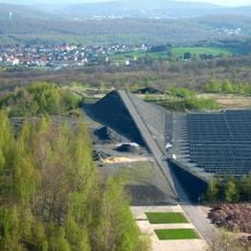
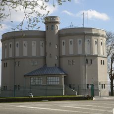
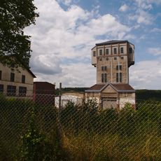
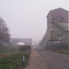
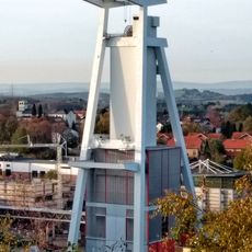
The villages around Quierschied began as farming settlements and were deeply shaped by coal mining from the 19th century onward. Mining brought workers and their families to the area and changed the character of the villages before the industry eventually wound down in the 20th century.
Local clubs for sport, music, and folk traditions are central to everyday life in the villages that make up this municipality. Community gatherings and seasonal celebrations bring residents from the different settlements together throughout the year.
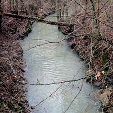
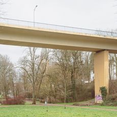
The villages and surrounding paths are easy to explore on foot or by bike, with routes running through fields and along woodland edges. Local buses connect the area to Saarbrücken, so getting there without a car is straightforward.
Olympic champion Armin Hary, who in 1960 became the first person to officially run 100 meters in 10.0 seconds, grew up in Quierschied. His world record brought attention to this small community far beyond the borders of Saarland.
The community of curious travelers
AroundUs brings together thousands of curated places, local tips, and hidden gems, enriched daily by 60,000 contributors worldwide.