
Oberes Temnitztal, protected area in the European Union defined by the habitats directive in Brandenburg, Germany
Location: Temnitzquell
Inception: 2000
GPS coordinates: 53.02618,12.65203
Latest update: August 9, 2025 04:53
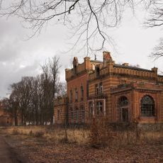
Gentzrode
11 km
Bronzeschilde von Herzsprung
11.8 km
Village church Braunsberg
12.7 km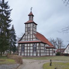
Village church Fretzdorf
8.2 km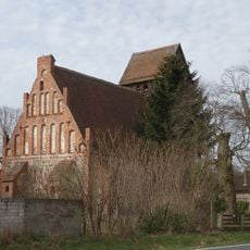
Village church Rossow
6.2 km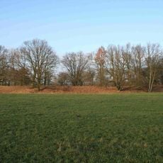
Burgwall Netzeband
6.6 km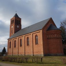
Dorfkirche Teetz
9.7 km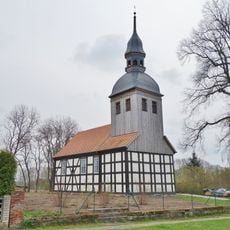
Village church Kantow
12.5 km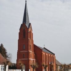
Village church Gadow
9.8 km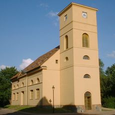
Dorfkirche Netzeband
3.2 km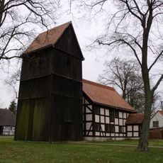
Dorfkirche Rägelin
1.3 km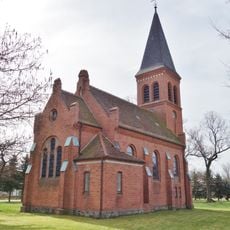
Dorfkirche Zootzen
13.1 km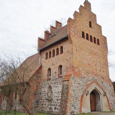
Village church Katerbow
4.2 km
Village church Zühlen
12.5 km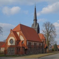
Village church Wallitz
12.9 km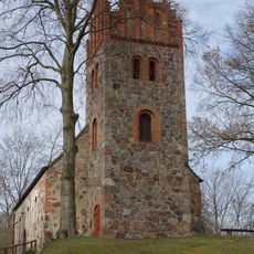
Dorfkirche Herzsprung
12.9 km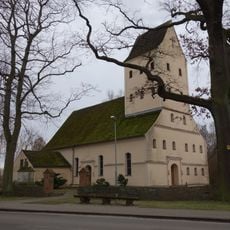
Village church Walsleben
9.8 km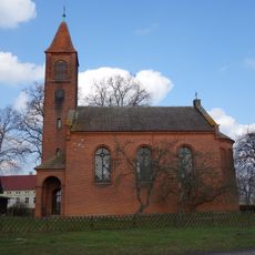
Village church Darritz
9.8 km
Kirchturm Werder
12.3 km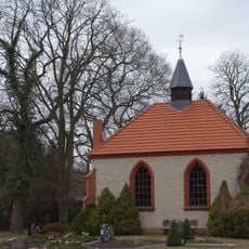
Schönberg chapel
10.9 km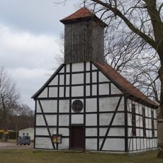
Village church Tramnitz
11.4 km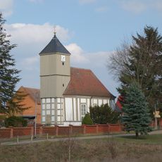
Village church Storbeck
9.9 km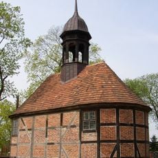
Village church Wulkow (Dosse)
11.8 km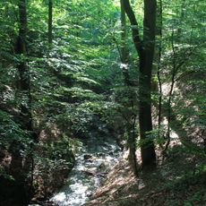
Ruppiner Schweiz
9 km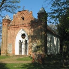
Village church Tornow (Dosse)
12.4 km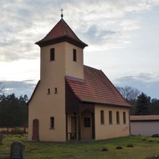
Village church Pfalzheim
1.3 km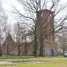
Village church Kränzlin
12.6 km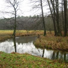
Ruppiner Schweiz
9.8 kmReviews
Visited this place? Tap the stars to rate it and share your experience / photos with the community! Try now! You can cancel it anytime.
Discover hidden gems everywhere you go!
From secret cafés to breathtaking viewpoints, skip the crowded tourist spots and find places that match your style. Our app makes it easy with voice search, smart filtering, route optimization, and insider tips from travelers worldwide. Download now for the complete mobile experience.

A unique approach to discovering new places❞
— Le Figaro
All the places worth exploring❞
— France Info
A tailor-made excursion in just a few clicks❞
— 20 Minutes