
Ostufer Mudrowsee, protected area in the European Union defined by the habitats directive in Brandenburg, Germany
Location: Angermünde
Inception: 2003
GPS coordinates: 53.00376,14.02369
Latest update: April 29, 2025 19:51
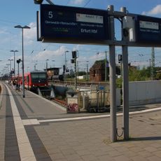
Angermünde railway station
2.3 km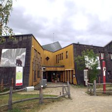
Blumberger Mühle
5.2 km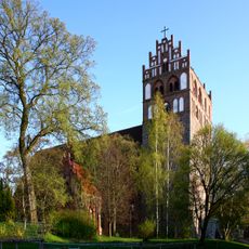
Marienkirche
2.2 km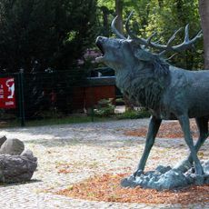
Tierpark Angermünde
2.4 km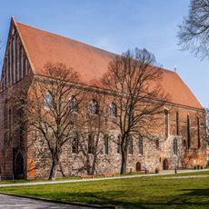
Church of St. Peter and St. Paul Angermünde
1.8 km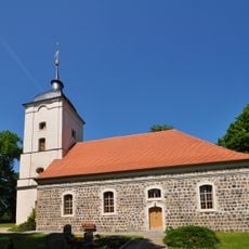
Village church Schmargendorf, Uckermark
5 km
Einstein-Gymnasium Angermünde
2.4 km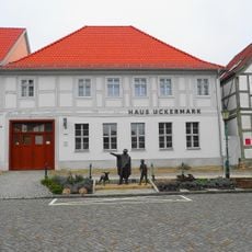
Ehm Welk and Local Museum
2.1 km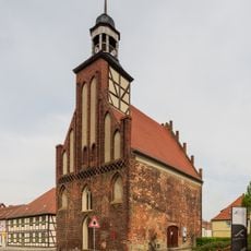
Heilig-Geist-Kapelle
2.1 km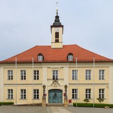
Rathaus Angermünde
2.1 km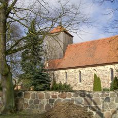
Village church Dobberzin
2 km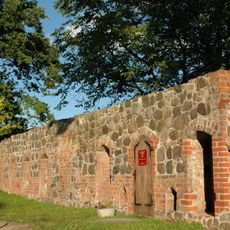
City walls of Angermünde
1.9 km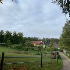
Gehegemühle
5.2 km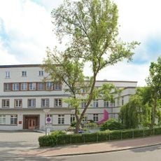
Krankenhaus Angermünde
2.5 km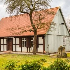
Wohnhaus Puschkinallee 10
2.3 km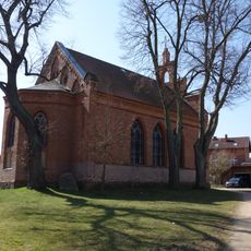
St.Martin's church Angermünde
2 km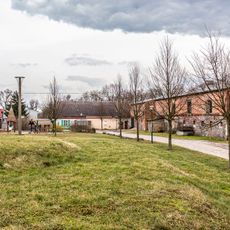
Vorwerk Neukünkendorf
4.1 km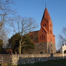
Village church Mürow
5.7 km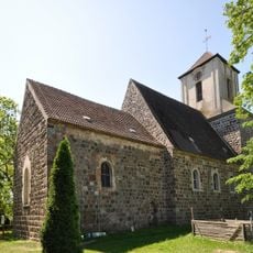
Village church Kerkow
4.6 km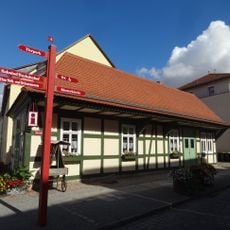
Ratswaage
2 km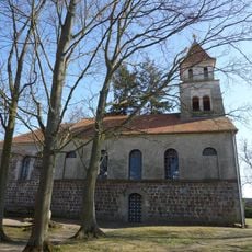
Church in Gellmersdorf
5.1 km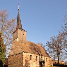
Dorfkirche Herzsprung (Angermünde)
3.9 km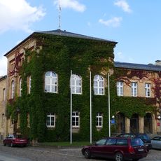
Amtsgerichtsgebäude Angermünde
2.1 km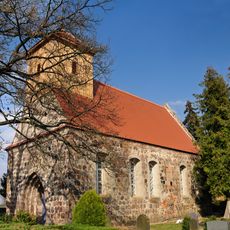
Dorfkirche
6.1 km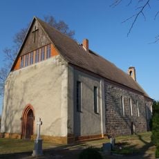
Church in Crussow
3.8 km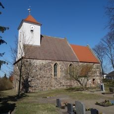
Church in Neukünkendorf
3.6 km
Doppelstubenhaus Schmargendorf, Uckermark
5.1 km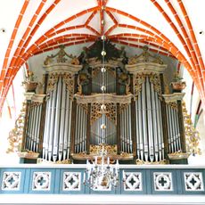
Wagner organ in Angermünde
2.2 kmReviews
Visited this place? Tap the stars to rate it and share your experience / photos with the community! Try now! You can cancel it anytime.
Discover hidden gems everywhere you go!
From secret cafés to breathtaking viewpoints, skip the crowded tourist spots and find places that match your style. Our app makes it easy with voice search, smart filtering, route optimization, and insider tips from travelers worldwide. Download now for the complete mobile experience.

A unique approach to discovering new places❞
— Le Figaro
All the places worth exploring❞
— France Info
A tailor-made excursion in just a few clicks❞
— 20 Minutes