
Schlaubetal, protected area in the European Union defined by the habitats directive in Brandenburg, Germany
Location: Oder-Spree District
Inception: 2000
GPS coordinates: 52.11097,14.46565
Latest update: March 4, 2025 06:43
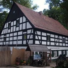
Bremsdorf Mill
2.7 km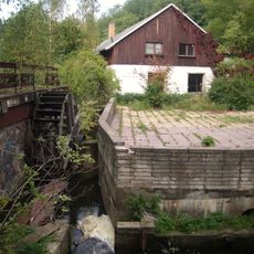
Klingemühle
2.6 km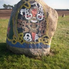
Findlingspark Henzendorf
9.2 km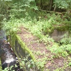
Mittelmühle
9.6 km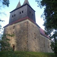
Village church Möbiskruge
8.6 km
Jankemühle
2.8 km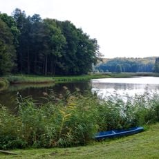
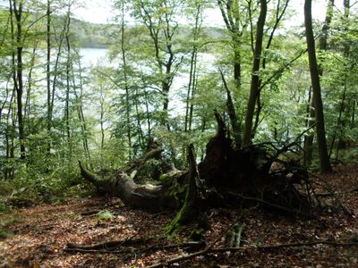
Schlaubetal
294 m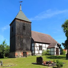
Village church Reicherskreuz
9.2 km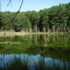
Teufelssee
5.6 km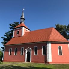
Village church Krügersdorf
11.2 km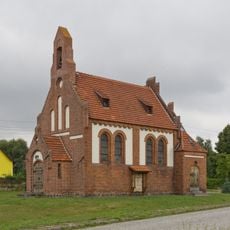
Village church Leeskow
11 km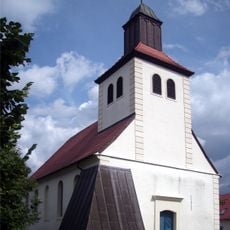
Village church Mixdorf
10.2 km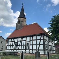
Dorfkirche Chossewitz
3.3 km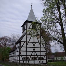
Village church Rießen
9.9 km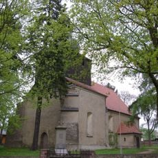
Village church Fünfeichen
5.8 km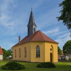
Village church Reudnitz
9.9 km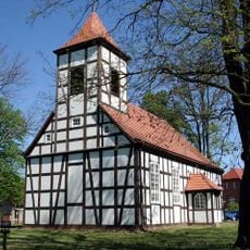
Village church Grunow
7.1 km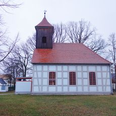
Village church Klein Muckrow
8.3 km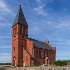
Village church Groß Briesen
5.8 km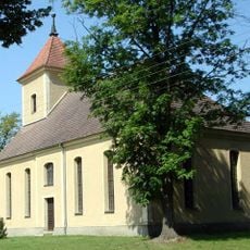
Village church Göhlen (Neuzelle)
10.5 km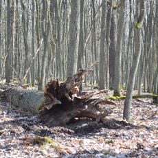
Urwald Fünfeichen
6.4 km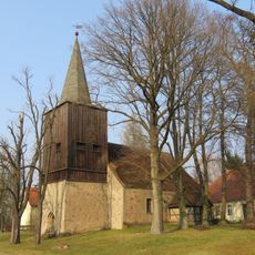
Village church Groß Muckrow
5.4 km
Schlaubetal
4.7 km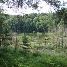
Teufelssee und Urwald Fünfeichen
6 km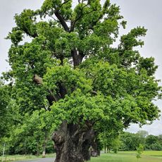
Bouquet-Eiche
11.4 km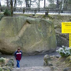
Kobbelner Stein
6.5 km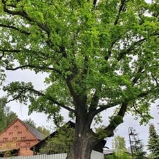
Eiche an der ehemaligen Wassermühle Oelsen
6.9 km
Drei Linden am Forstpark
4.9 kmReviews
Visited this place? Tap the stars to rate it and share your experience / photos with the community! Try now! You can cancel it anytime.
Discover hidden gems everywhere you go!
From secret cafés to breathtaking viewpoints, skip the crowded tourist spots and find places that match your style. Our app makes it easy with voice search, smart filtering, route optimization, and insider tips from travelers worldwide. Download now for the complete mobile experience.

A unique approach to discovering new places❞
— Le Figaro
All the places worth exploring❞
— France Info
A tailor-made excursion in just a few clicks❞
— 20 Minutes