
Stobbertal, protected area in the European Union defined by the habitats directive in Brandenburg, Germany
Location: Oberbarnim
Location: Märkische Höhe
Location: Neuhardenberg
Location: Müncheberg
Location: Buckow
Inception: 2000
GPS coordinates: 52.59000,14.14694
Latest update: April 2, 2025 18:04
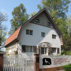
Brecht-Weigel-Haus
6 km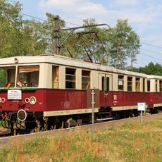
Buckower Kleinbahn
7.9 km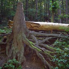
Wurzelfichte
5.5 km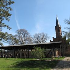
Kloster Friedland
5.6 km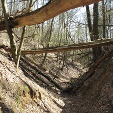
Wolfsschlucht (Märkische Schweiz)
4 km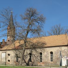
Klosterkirche Altfriedland
5.6 km
Stobbertal
1.3 km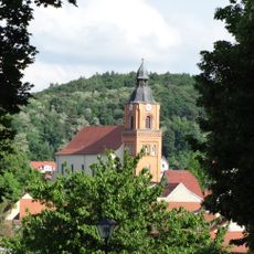
Parish church in Buckow (Märkische Schweiz)
5.5 km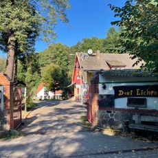
Dreieichen
3.4 km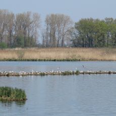
Europäisches Vogelschutzgebiet Altfriedländer Teich- und Seengebiet
5.4 km
Alte Mühle
3.1 km
Fledermaus-Museum Julianenhof
1.9 km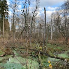
Klobichsee
4.8 km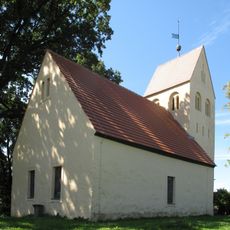
Village church Pritzhagen
3 km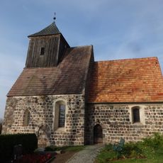
Village church Münchehofe (Müncheberg)
3.7 km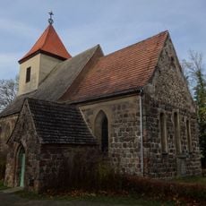
Village church Obersdorf
5.8 km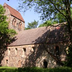
Ringenwalde church
3.2 km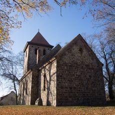
Village church Hermersdorf
3.5 km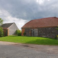
Gutsanlage Reichenberg
3.3 km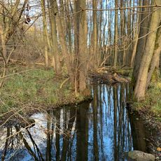
Klobichseer Mühlenfließ
2.6 km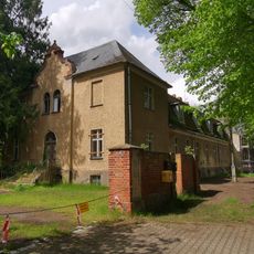
Gut Altfriedland
5.6 km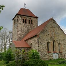
Dorfkirche Reichenberg
3.5 km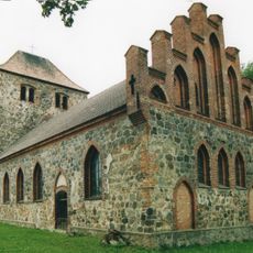
Church in Batzlow
5 km
Galerie Zum Alten Warmbad
5.5 km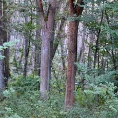
Naturpark Märkische Schweiz
5.6 km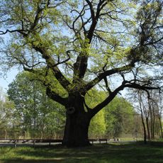
Napoleon-Eiche
4.7 km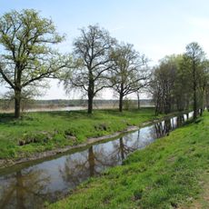
Märkische Schweiz
4.6 km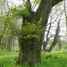
Wulkow-Eiche
5.9 kmReviews
Visited this place? Tap the stars to rate it and share your experience / photos with the community! Try now! You can cancel it anytime.
Discover hidden gems everywhere you go!
From secret cafés to breathtaking viewpoints, skip the crowded tourist spots and find places that match your style. Our app makes it easy with voice search, smart filtering, route optimization, and insider tips from travelers worldwide. Download now for the complete mobile experience.

A unique approach to discovering new places❞
— Le Figaro
All the places worth exploring❞
— France Info
A tailor-made excursion in just a few clicks❞
— 20 Minutes