
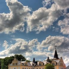
Exin, protected area in the European Union defined by the habitats directive in Brandenburg, Germany
Location: Löwenberger Land
Inception: 2000
GPS coordinates: 52.92641,13.35144
Latest update: March 21, 2025 07:33
Schloss Liebenberg
7.3 km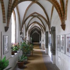
Zehdenick Abbey
5.8 km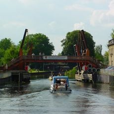
Hastbrücke
6.2 km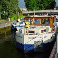
Zehdenick lock
6.4 km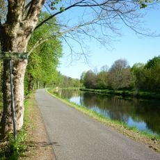
Schnelle Havel
5.8 km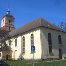
Stadtkirche Zehdenick
5.9 km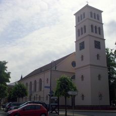
Stadtkirche Liebenwalde
6.6 km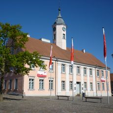
Town hall of Zehdenick
6 km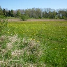
Klienitz
7.3 km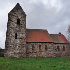
Village church Bergsdorf
6 km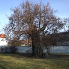
Gerichtslinde Zehdenick
5.8 km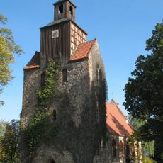
Village church Falkenthal
4.5 km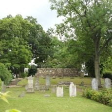
Jüdischer Friedhof Zehdenick
7.3 km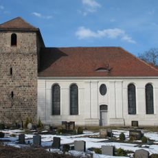
Village church Klein-Mutz
6.2 km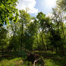
Liebenberger Bruch
6.2 km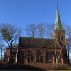
Katholische Kirche Zehdenick
7.2 km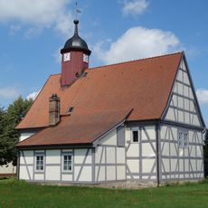
Village church Krewelin
2.8 km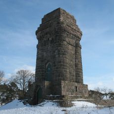
Bismarck Tower
6.7 km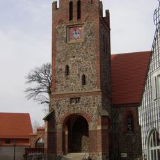
Village church Liebenberg
7.2 km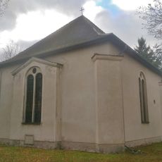
Village Church Neuholland
7.3 km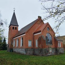
Dorfkirche Liebenthal
7.6 km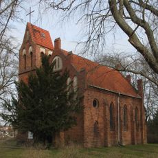
Dorfkirche Kappe
7.1 km
Moddersee
7.2 km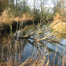
Schnelle Havel
6.1 km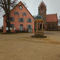
Liebenberger Geschichtsmuseum
7.4 km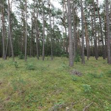
Obere Havelniederung
7.2 km
Gerichtslinde Zehdenick
5.8 km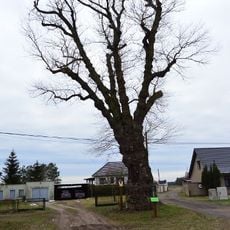
Naturdenkmal Schwarzpappel an der Wesendorfer Straße ca. 2,4 km südöstl. Altlüdersdorf, 600 m N Rieckesthal in Wesendorf
6.5 kmReviews
Visited this place? Tap the stars to rate it and share your experience / photos with the community! Try now! You can cancel it anytime.
Discover hidden gems everywhere you go!
From secret cafés to breathtaking viewpoints, skip the crowded tourist spots and find places that match your style. Our app makes it easy with voice search, smart filtering, route optimization, and insider tips from travelers worldwide. Download now for the complete mobile experience.

A unique approach to discovering new places❞
— Le Figaro
All the places worth exploring❞
— France Info
A tailor-made excursion in just a few clicks❞
— 20 Minutes