
Wald bei Wald-Amorbach, protected area in the European Union defined by the habitats directive in Hessen, Germany
Location: Groß-Umstadt
Location: Breuberg
Inception: January 16, 2008
GPS coordinates: 49.84762,9.01248
Latest update: March 11, 2025 21:19

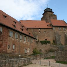
Burg Breuberg
3.6 km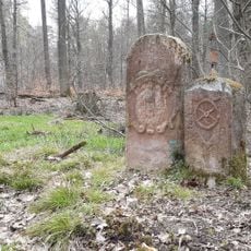
Hoher Stein
1.9 km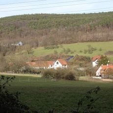
Frau-Nauses
4.5 km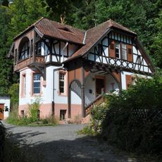
Ernst-Ludwig-Heilstätte
1.8 km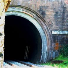
Frau-Nauses-Tunnel
4.5 km
Arnheider Kapelle
3.7 km
Jagdschloesschen Carlsruhe
3.3 km
Evangelische Kirche Sandbach
3.2 km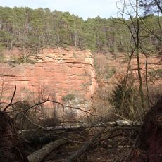
Sandsteinbrüche am Burzelberg bei Frau-Nauses
4.1 km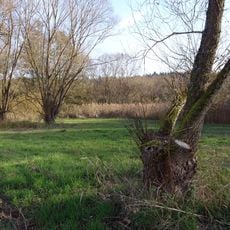
Naturschutzgebiet Bruchwiesen von Dorndiel
1.8 km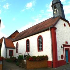
Evangelische Kirche
2 km
Hohlstraße 9 (Sandbach)
3.1 km
Marktplatz 11 (Breuberg)
3.8 km
Evangelische Kirche Neustadt
3.7 km
Protestant Church
4.5 km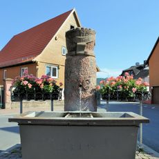
Dorfbrunnen
2.7 km
Evangelische Kirche St. Bartholomäus
682 m
Ehemaliges Rathaus und Schule
692 m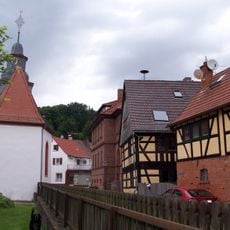
'Schulzenhof'
700 m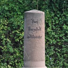
Meilenstein
3.5 km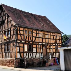
Dammstraße 5
2.6 km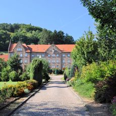
St. Marien-Altersheim
3 km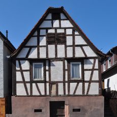
Tagelöhnerhaus auf hohem verputztem Kellersockel
3.3 km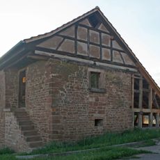
Arnheiter Hof
3.7 km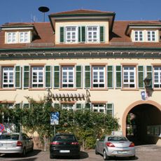
Ehemaliges Kreisamtsgebäude
3.7 km
Mainstraße 71
2.7 km
Breuberg
3.6 km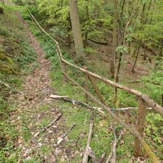
Mühlhansenloch WSW von Mömlingen
3.5 kmReviews
Visited this place? Tap the stars to rate it and share your experience / photos with the community! Try now! You can cancel it anytime.
Discover hidden gems everywhere you go!
From secret cafés to breathtaking viewpoints, skip the crowded tourist spots and find places that match your style. Our app makes it easy with voice search, smart filtering, route optimization, and insider tips from travelers worldwide. Download now for the complete mobile experience.

A unique approach to discovering new places❞
— Le Figaro
All the places worth exploring❞
— France Info
A tailor-made excursion in just a few clicks❞
— 20 Minutes