
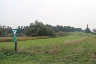
Grünlandgebiete in der Wetterau, protected area in the European Union defined by the habitats directive in Hessen, Germany
Location: Wetteraukreis
Inception: 2011
GPS coordinates: 50.31704,8.86971
Latest update: March 7, 2025 03:12
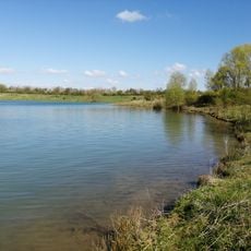
Bergwerksee
4 km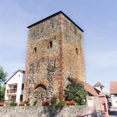
Burg Staden
3.3 km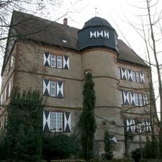
Schloss Stammheim
3.6 km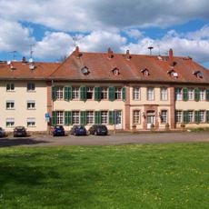
Löw’sches Schloss
3.3 km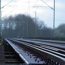
Niddabrücke Assenheim
4.4 km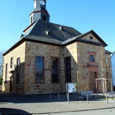
Evangelische Kirche Assenheim
4.5 km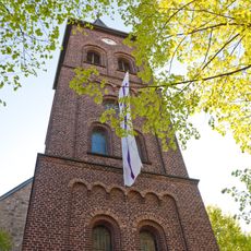
Evangelische Stadtkirche
2.5 km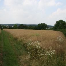
Kleinkastell Stammheim
3.8 km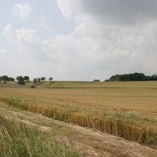
Kleinkastell Lochberg
5.3 km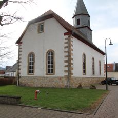
Evangelische Kirche Erbstadt
5.3 km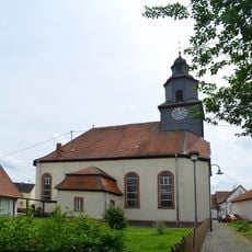
Evangelische Kirche Stammheim
3.5 km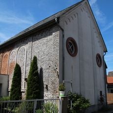
Assenheim (Niddatal) - Ehem. Synagoge
4.5 km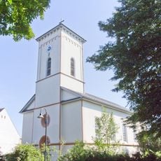
Evangelische Kirche Staden
3.4 km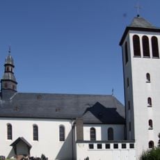
St. Maria Magdalena
3.2 km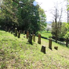
Jüdischer Friedhof Assenheim
5 km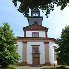
Evangelische Kirche
439 m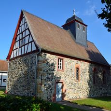
Kirche Bauernheim
5.2 km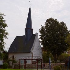
Evangelische Kirche Heuchelheim
5.6 km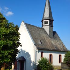
Evangelische Pfarrkirche
5.4 km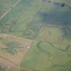
Am Mähried bei Staden
2.5 km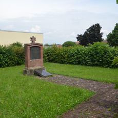
Jüdischer Friedhof
218 m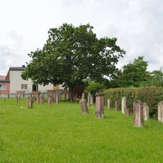
Jüdischer Friedhof
3.4 km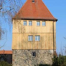
Pfortenturm
2.3 km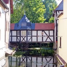
Seufzerbrücke
3.4 km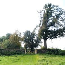
Friedhof
2.3 km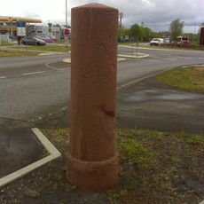
Stundenstein
5 km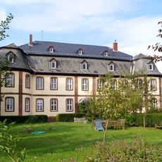
Hofgut Wickstadt
2.3 km
Haus Mühlenstraße 5
4.5 kmVisited this place? Tap the stars to rate it and share your experience / photos with the community! Try now! You can cancel it anytime.
Discover hidden gems everywhere you go!
From secret cafés to breathtaking viewpoints, skip the crowded tourist spots and find places that match your style. Our app makes it easy with voice search, smart filtering, route optimization, and insider tips from travelers worldwide. Download now for the complete mobile experience.

A unique approach to discovering new places❞
— Le Figaro
All the places worth exploring❞
— France Info
A tailor-made excursion in just a few clicks❞
— 20 Minutes