
Jestädter Weinberg / Werraaltarm u. -aue bei Albungen, protected area in the European Union defined by the habitats directive in Hessen, Germany
Location: Werra-Meißner-Kreis
Inception: 1998
GPS coordinates: 51.22220,9.99766
Latest update: March 29, 2025 01:40


Schloss Rothestein
4.4 km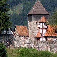
Burg Fürstenstein
393 m
Bahnhof Eschwege West
3.3 km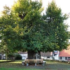
Hitzeröder Dorflinde
3.4 km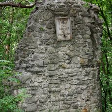
Burg Bilstein (Eschwege)
2.4 km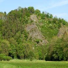
Bilstein im Höllental
2.4 km
Totenkirche Abterode
4 km
Besucherbergwerk Grube Gustav
3.2 km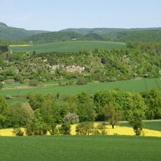
Jestädter Weinberg
587 m
Schloss Jestädt
1.6 km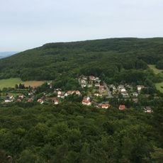
Hohestein
4.2 km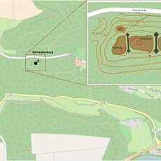
Burgruine Schnepfenburg
1.9 km
Bärenstein Abterode
3.9 km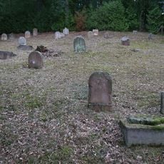
Jewish Cemetery of Jestädt
1.2 km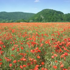
Landschaftsschutzgebiet Auenverbund Werra
2.1 km
Evangelische Kirche Abterode
4.5 km
Former Abterode synagogue
4.4 km
Weißbachtal bei Reichenbach
2.4 km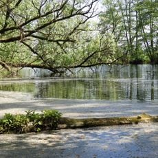
Werraaltarm und Werraaue bei Albungen
814 m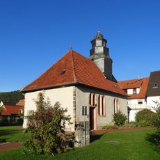
Evangelische Kirche Albungen
948 m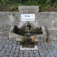
Gesegneter Born bei Albungen
1.1 km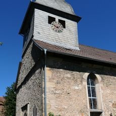
Evangelische Kirche Weidenhausen
2.6 km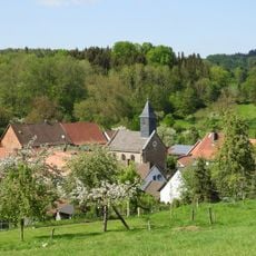
Evangelische Kirche Wellingerode
2.4 km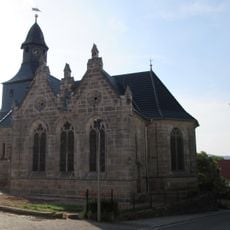
St. Nicolai
2.8 km
Bilstein im Höllental
2.4 km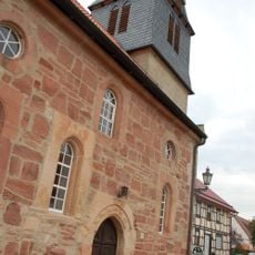
Ev. Kirche
1.5 km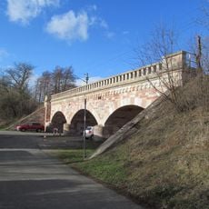
Eisenbahnbrücken
2.9 km
Ev. Kirche
3.9 kmReviews
Visited this place? Tap the stars to rate it and share your experience / photos with the community! Try now! You can cancel it anytime.
Discover hidden gems everywhere you go!
From secret cafés to breathtaking viewpoints, skip the crowded tourist spots and find places that match your style. Our app makes it easy with voice search, smart filtering, route optimization, and insider tips from travelers worldwide. Download now for the complete mobile experience.

A unique approach to discovering new places❞
— Le Figaro
All the places worth exploring❞
— France Info
A tailor-made excursion in just a few clicks❞
— 20 Minutes