Werra-Meißner-Kreis

Log in to your account

AroundUs is a community-driven map of interesting places, built by curious explorers like you. It grows with every review, story, and photo you share.
Connect to save your favorite spots, contribute locations, and create personalized routes.
Continue with Google
Continue with Apple
Continue with X
Continue with Facebook
Continue with email
By continuing, you accept our Terms and Conditions and our Privacy Policy
Create an account
Add to collection
Map
Suggest a change
Share

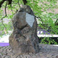
Werra-Meißner-Kreis, Administrative district in northern Hesse, Germany

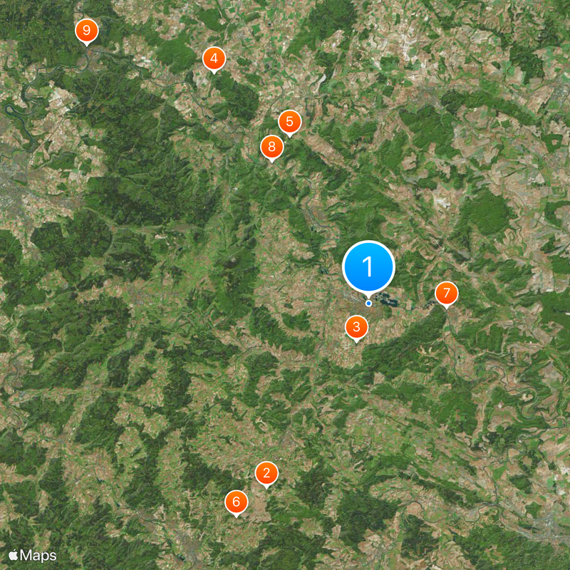
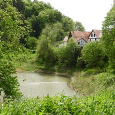
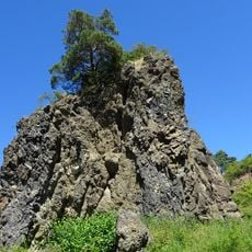
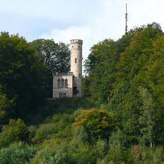
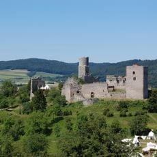
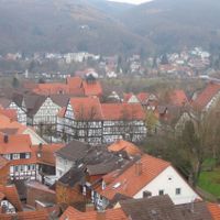
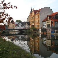
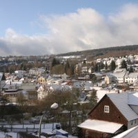
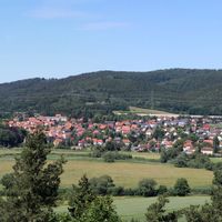
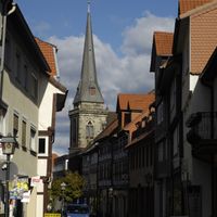
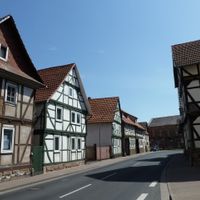
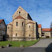
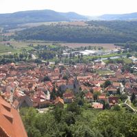
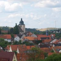
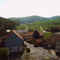
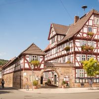
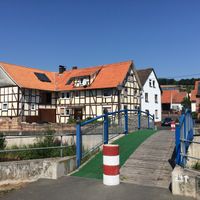
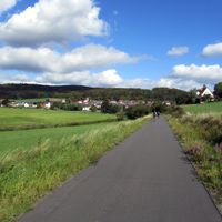
Werra-Meißner-Kreis is a rural district in northern Hesse composed of 16 municipalities spread across hilly to mountainous terrain. Eschwege serves as the administrative center, and the landscape is shaped by rivers, forests, and farmland.

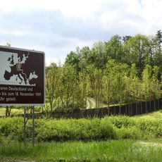
The district was formed in 1974 through the merger of the former Eschwege and Witzenhausen districts as part of a larger administrative reform in Hesse. This reorganization brought several smaller regions under a single administration.

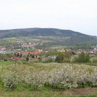
The region has long been known for fruit farming, especially apples, celebrated in local markets and festivals throughout the year. This agricultural tradition shapes the character of the municipalities and their connection to the land.

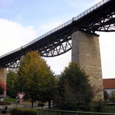
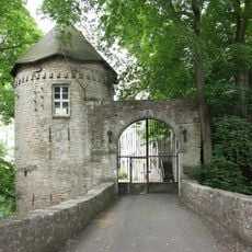
The area is crisscrossed with extensive hiking trails that connect various municipalities and natural areas and are easy to access. A car is recommended for exploring the villages and rural surroundings, as public transport can be limited.

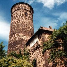
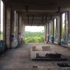
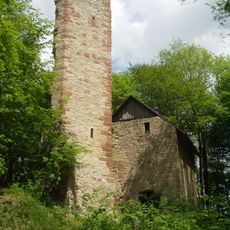
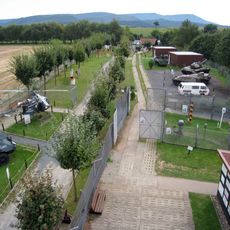
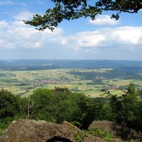
The Hoher Meißner, one of the region's highest peaks, housed a United States military listening station during the Cold War. This secret chapter in the mountain's past remains a curious piece of regional history.

Location: Kassel Government Region

Inception: 1974

Capital city: Eschwege

Elevation above the sea: 257 m

Shares border with: Göttingen district, Eisenach, Landkreis Kassel, Eichsfeld, Unstrut-Hainich-Kreis, Wartburgkreis, Hersfeld-Rotenburg, Schwalm-Eder-Kreis

Website: https://werra-meissner-kreis.de

GPS coordinates: 51.18854,10.05333

Latest update: December 20, 2025 01:41

Photos
Reviews

Visited this place? Tap the stars to rate it and share your experience / photos with the community! Try now! You can cancel it anytime.

« Werra-Meißner-Kreis - Administrative district in northern Hesse, Germany » is provided by Around Us (aroundus.com). Images and texts are derived from Wikimedia project under a Creative Commons license. You are allowed to copy, distribute, and modify copies of this page, under the conditions set by the license, as long as this note is clearly visible.

Discover hidden gems everywhere you go!

From secret cafés to breathtaking viewpoints, skip the crowded tourist spots and find places that match your style. Our app makes it easy with voice search, smart filtering, route optimization, and insider tips from travelers worldwide. Download now for the complete mobile experience.

Around Us App Screenshot

A unique approach to discovering new places

Le Figaro

All the places worth exploring

France Info

A tailor-made excursion in just a few clicks

20 Minutes