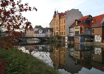
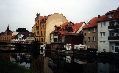
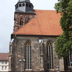
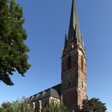
Eschwege, District capital and town in Werra-Meißner-Kreis, Germany.
The Werra-Meißner district is an administrative area in northeastern Hesse, stretching between the Thuringian Basin and the Kaufunger Forest. The region is crossed by the Werra river and borders Lower Saxony to the north and Thuringia to the east.
The district was formed in 1974 by merging the former districts of Eschwege and Witzenhausen during the Hessian territorial reform. The border position between the historical territories of Hesse, Thuringia and Brunswick shaped the region for centuries.
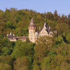
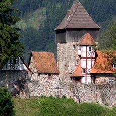
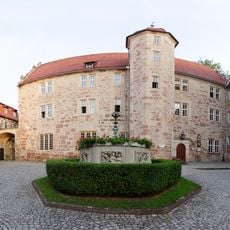
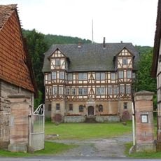
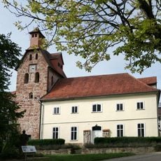
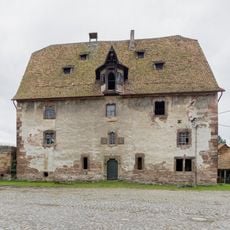
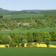
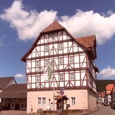
The district covers more than 30 municipalities and towns spread along the Werra and its tributaries, defined by half-timbered houses and small market squares. Many village centers show the regional building style with wooden beams and whitewashed panels, scattered between rolling farmland and forested slopes.
The district administration is located in the county seat Eschwege, while smaller administrative offices are also found in Witzenhausen. The towns are connected by country roads and regional rail lines, with the area best explored by car.
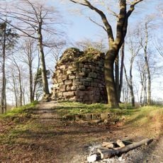
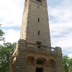
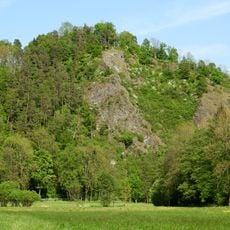
The district takes its name from the Werra river and the Meißner, a prominent mountain massif reaching 754 meters (2474 feet). The Meißner hosts the Frau Holle pond area, which plays a special role in German fairy tale tradition.
The community of curious travelers
AroundUs brings together thousands of curated places, local tips, and hidden gems, enriched daily by 60,000 contributors worldwide.