Sontra, town in Werra-Meißner-Kreis in Hesse, Germany
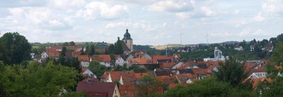
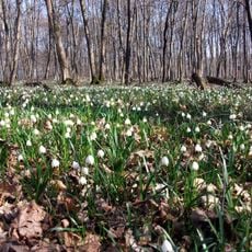
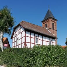
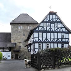
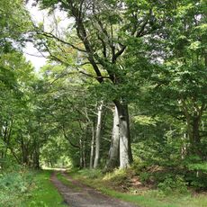
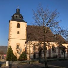
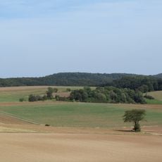
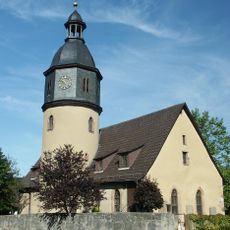
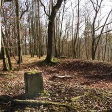
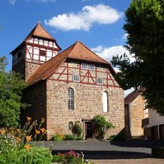
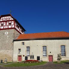
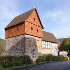
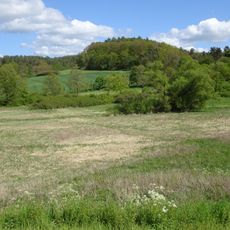
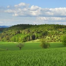
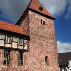
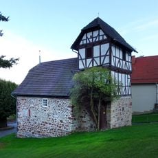
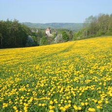
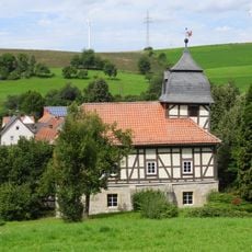
Sontra is a small town in the Werra-Meißner-Kreis region of Hesse, Germany. It is crossed by a river and surrounded by hills and forests, with an old town center made of stone and wooden houses whose narrow lanes date back to medieval times.
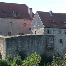
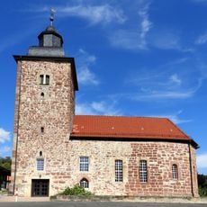
Sontra was first mentioned in written records in the 8th century and received its town rights in the 12. The town was a member of the Hanseatic League and benefited from a trading network that extended across the North Sea and Baltic regions, while mining from the late 1400s until the mid-1900s shaped its economy.
The name Sontra comes from the river that flows through the town and has shaped life here for centuries. The old town center still shows the tight streets and narrow lanes where merchants and craftspeople once gathered during Hanseatic times.
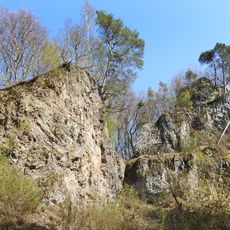
The town is easy to reach by car and has parking near the center, while a train station and local bus connections serve travelers heading to nearby places and larger cities. To explore the old town and surrounding nature, wear comfortable walking shoes and allow time for the many hiking trails through the hills and forests.
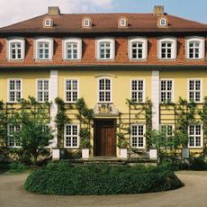
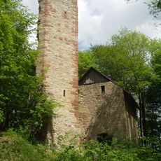
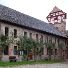
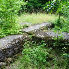
The town was known for mining black shale, a resource extracted from the late 1400s until the middle of the 1900s. A museum set within the ruins of the nearby Boyneburg castle tells the story of this industrial past and the noble families who once ruled the area.
The community of curious travelers
AroundUs brings together thousands of curated places, local tips, and hidden gems, enriched daily by 60,000 contributors worldwide.