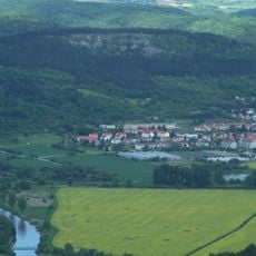
Wanfried, town in the district Werra-Meißner-Kreis, Regierungsbezirk Kassel, Hesse, Germany
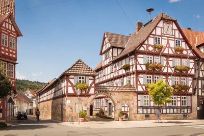
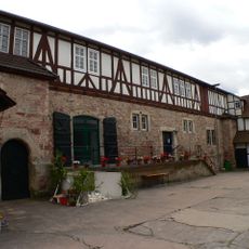
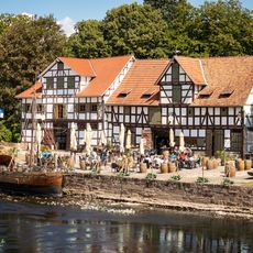
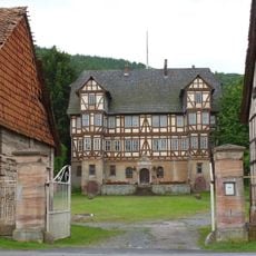
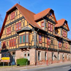
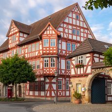
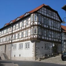
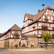
Wanfried is a small town in Hessen with fewer than 5000 residents, located in the Werra-Meißner-Kreis area. The old town features timber-framed houses from the 16th and 17th centuries, standing along the main street and around the former harbor area.
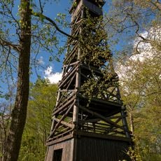
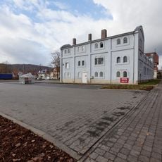
Wanfried was an important river port on the Werra during the 16th and 17th centuries, where ships brought goods and wealth to the town. The town's fortunes shifted when trade routes changed and river traffic declined in later periods.
The name Wanfried reflects its connection to the Werra River, which shaped daily life for centuries. Walking through town, you can see how the buildings and their decorations still speak to this maritime heritage.
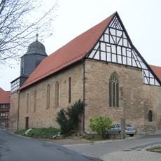
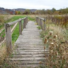
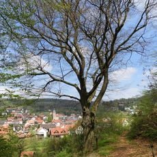
The best way to explore Wanfried is a leisurely walk through the narrow lanes of the old town center. The town is small enough to see everything on foot, with cafes and local shops where you can rest and observe daily life.
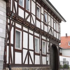
Harmes's house displays rare wooden carvings of water creatures and angels, a reminder of the town's past as a river port. These artistic details are an unusual feature that preserves the maritime heritage in the buildings themselves.
The community of curious travelers
AroundUs brings together thousands of curated places, local tips, and hidden gems, enriched daily by 60,000 contributors worldwide.