
Oederquarter Moor, protected area in the European Union defined by the habitats directive in Niedersachsen, Germany
Location: Oederquart
Location: Osten
Inception: 1998
GPS coordinates: 53.76751,9.25274
Latest update: March 30, 2025 21:29
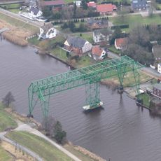
Osten Transporter Bridge
9.4 km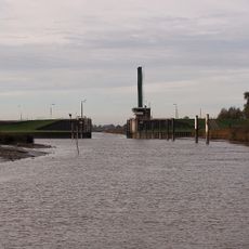
Sperrwerk Wischhafen
6.1 km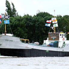
Jan-Dirk
10.5 km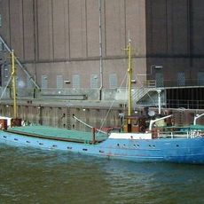
Iris-Jörg
4.6 km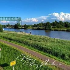
Schwebefähre Oste
9.3 km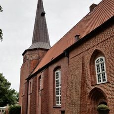
St. Johanniskirche
4.2 km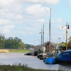
Kehdinger Küstenschiffahrts-Museum
4.5 km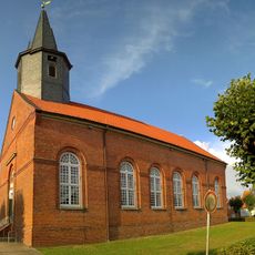
St. Wulfheard
6.9 km
St. Nicolai-Kirche
7.6 km
St.-Ansgar-Kirche
10.5 km
St. Dionysius (Hamelwörden)
5.5 km
St.-Petri-Kirche (Osten)
9.3 km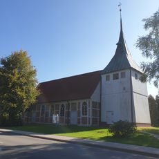
St. Marien
9.8 km
Schnook, Außendeichsflächen bei Geversdorf
10 km
Sperrwerk Freiburg/Elbe
7.2 km
Schilf- und Wasserfläche Krautsand/ Ostende
9.3 km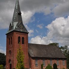
St. Michaelis
10.3 km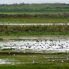
Allwördener Außendeich/ Brammersand
7.3 km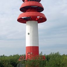
Unterfeuer Hollerwettern
10.4 km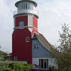
Hollerwettern Lighthouse
10.5 km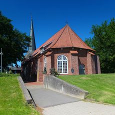
St. Georg
7.2 km
Hemmoorium/0rd- und frühgeschichtliches Museum Hemmoor
10.4 km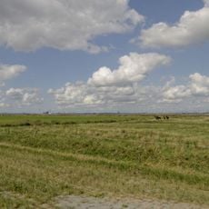
Außendeich Nordkehdingen II
10.6 km
Lower range light Krautsand
8.9 km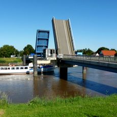
Ostebrücke
7.1 km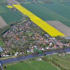
Ostebrücke
9.4 km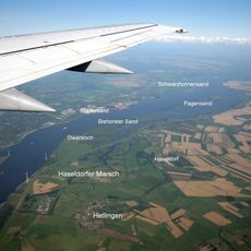
Unterelbe
3.5 km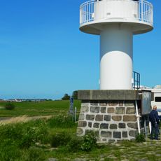
Glückstadt Harbour entry north
10.5 kmReviews
Visited this place? Tap the stars to rate it and share your experience / photos with the community! Try now! You can cancel it anytime.
Discover hidden gems everywhere you go!
From secret cafés to breathtaking viewpoints, skip the crowded tourist spots and find places that match your style. Our app makes it easy with voice search, smart filtering, route optimization, and insider tips from travelers worldwide. Download now for the complete mobile experience.

A unique approach to discovering new places❞
— Le Figaro
All the places worth exploring❞
— France Info
A tailor-made excursion in just a few clicks❞
— 20 Minutes