
Ohe, protected area in the European Union defined by the habitats directive in Niedersachsen, Germany
Location: Friesoythe
Location: Esterwegen
Location: Breddenberg
Location: Hilkenbrook
Location: Lorup
Inception: 2004
GPS coordinates: 52.98117,7.67524
Latest update: April 16, 2025 03:48
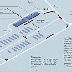
Gedenkstätte Esterwegen
3.8 km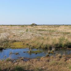
Esterweger Dose
7.7 km
De hoogen Steener
11.3 km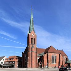
St. Marien
13.1 km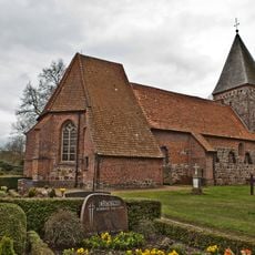
St. Vituskirche
14.5 km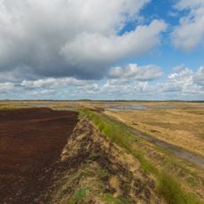
Leegmoor
8.3 km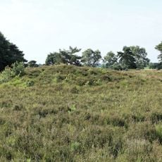
Männige Berge
13.5 km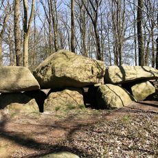
Teufelssteine Molbergen
13.1 km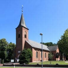
St. Bonifatius (Westrhauderfehn)
15.4 km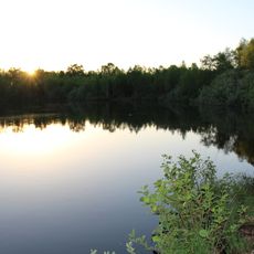
Großes Tate Meer
5.1 km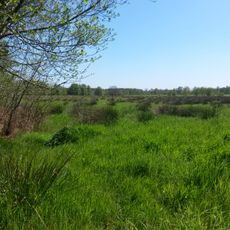
Bockholter Dose
14 km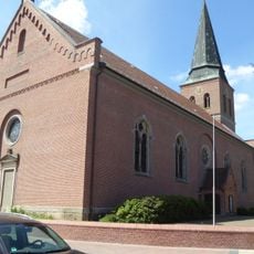
St. Sixtus
14.5 km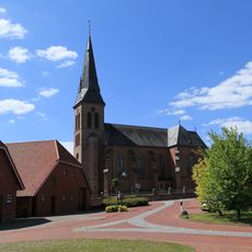
St. Johannes der Täufer
3.2 km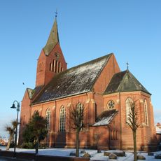
St. Jakobuskirche
13.5 km
Schlingsteine
14.9 km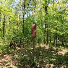
Windelberg
12.5 km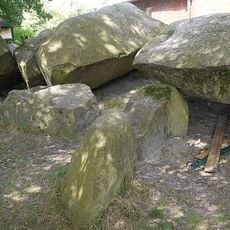
Steenhus in Börger
12.3 km
Aquaferrum
12.9 km
St. Prosper
6 km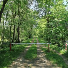
Melmmoor/ Kuhdammoor
5.2 km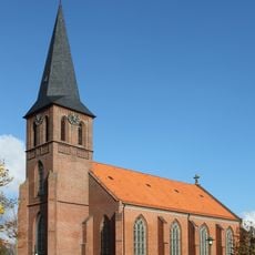
St. Peter und Paul
10 km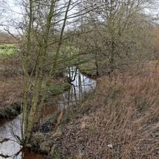
Oberlauf der Ohe
11.5 km
Großsteingrab Werpeloh II
15.5 km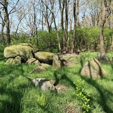
Großsteingrab Werpeloh III
15.3 km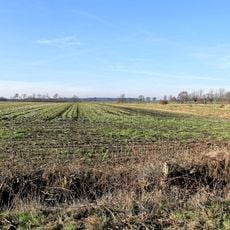
Moorwiesen am Theikenmeer
14.4 km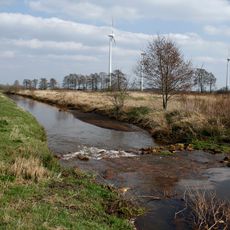
Ohe
0 m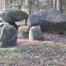
Poldenhünensteine
11.5 km
Esterweger Dose
6.9 kmReviews
Visited this place? Tap the stars to rate it and share your experience / photos with the community! Try now! You can cancel it anytime.
Discover hidden gems everywhere you go!
From secret cafés to breathtaking viewpoints, skip the crowded tourist spots and find places that match your style. Our app makes it easy with voice search, smart filtering, route optimization, and insider tips from travelers worldwide. Download now for the complete mobile experience.

A unique approach to discovering new places❞
— Le Figaro
All the places worth exploring❞
— France Info
A tailor-made excursion in just a few clicks❞
— 20 Minutes