
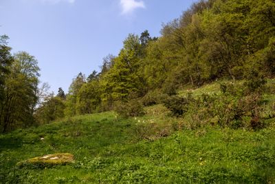
Bachtäler der Hersbrucker Alb, protected area in the European Union defined by the habitats directive in Bayern, Germany
Location: Nürnberger Land
Inception: 2004
GPS coordinates: 49.44938,11.49217
Latest update: March 2, 2025 20:34
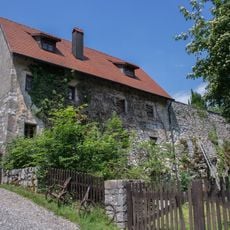
Burgruine in Happurg
2.9 km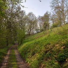
Oberes Molsberger Tal
638 m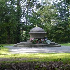
Gedenkstätte für die Opfer des KZ-Hersbruck in Happurg
400 m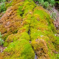
Steinerne Rinne bei Thalheim
3.4 km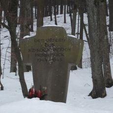
KZ-Mahnmal bei Förrenbach
3.3 km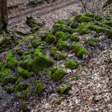
Kalktuffterrasse von Kainsbach
3 km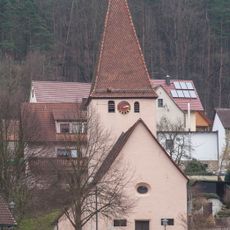
Evangelisch-lutherisch Filialkirche in Happurg
2.3 km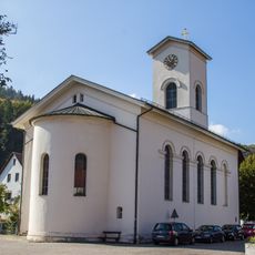
St. Johannes
3 km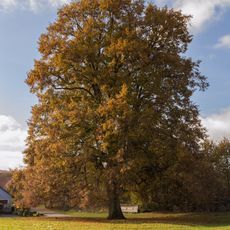
Deckersberger Linde
3.6 km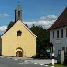
Evangelisch-lutherisch Kapelle St. Margaretha in Alfeld
2.8 km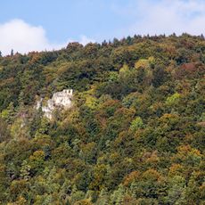
Wasserbergfelsen
3.5 km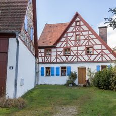
Wohnstallhaus in Happurg
3.5 km
Cultural heritage D-5-6535-0114 in Alfeld (Mittelfranken)
2.8 km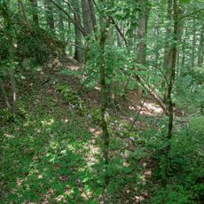
Cultural heritage D-5-6534-0025 in Happurg
2.9 km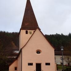
Cultural heritage D-5-6534-0171 in Happurg
2.3 km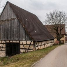
Scheune in Happurg
943 m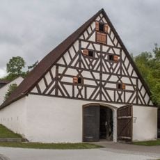
Scheune in Alfeld
3.5 km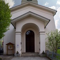
Cultural heritage D-5-6535-0119 in Happurg
3 km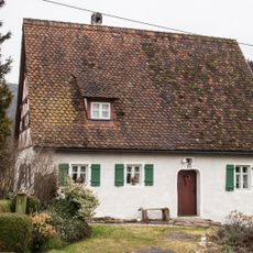
Ehemaliges Tagelöhnerhaus in Happurg
1.1 km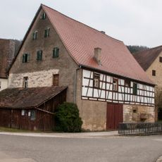
Nebengebäude in Happurg
2.4 km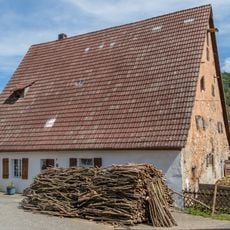
Wohnstallhaus in Happurg
3 km
Breitenbrunner Buchenreihe
3.5 km
Hinterhaslacher Hutanger
2.3 km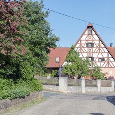
Sandweg 14
3 km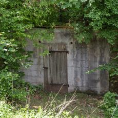
Felsenkeller Seer Straße
2.9 km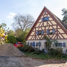
Tagelöhnerhaus in Happurg
2.2 km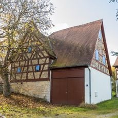
Scheune Deckersberg 13 (D-5-74-128-42#1)
3.5 km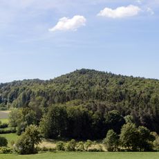
Dürrberg bei See
1.9 kmReviews
Visited this place? Tap the stars to rate it and share your experience / photos with the community! Try now! You can cancel it anytime.
Discover hidden gems everywhere you go!
From secret cafés to breathtaking viewpoints, skip the crowded tourist spots and find places that match your style. Our app makes it easy with voice search, smart filtering, route optimization, and insider tips from travelers worldwide. Download now for the complete mobile experience.

A unique approach to discovering new places❞
— Le Figaro
All the places worth exploring❞
— France Info
A tailor-made excursion in just a few clicks❞
— 20 Minutes