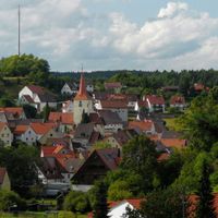
Nürnberger Land, Rural district in Middle Franconia, Germany.
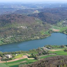
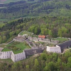
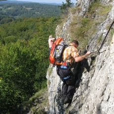
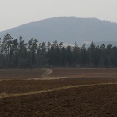
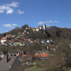
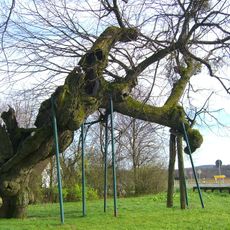
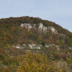
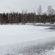
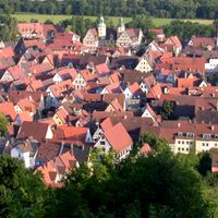
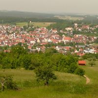
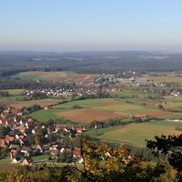
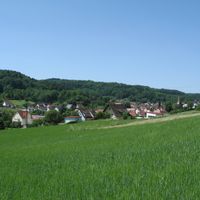
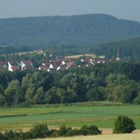
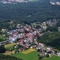
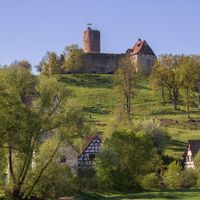
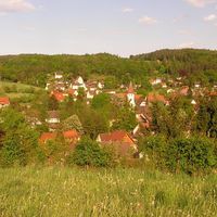
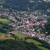
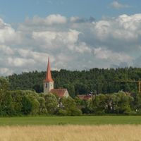
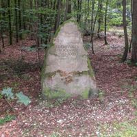
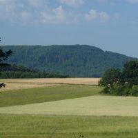
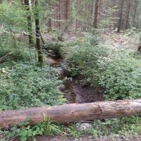
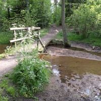
Nürnberger Land is a rural district in Middle Franconia with forests including Rückersdorfer Forst and Engelthaler Forst that shape much of the terrain. Numerous municipalities form a patchwork of small towns and villages with varied countryside.
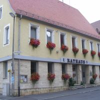
The district was established in 1972 through the merger of several municipalities, with Lauf an der Pegnitz becoming its administrative center. This creation shaped how the region is organized today.
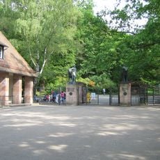
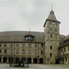
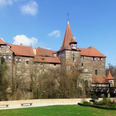
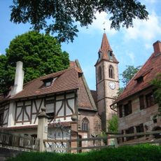
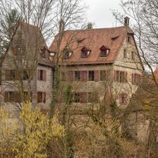
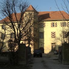
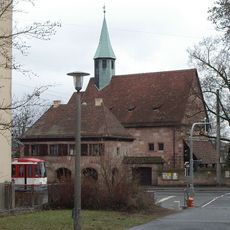
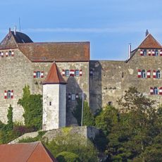
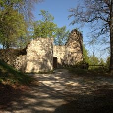
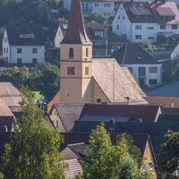
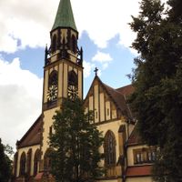
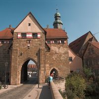
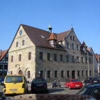
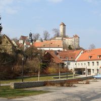
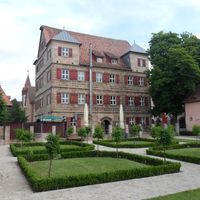
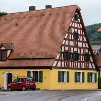
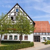
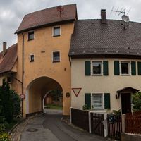
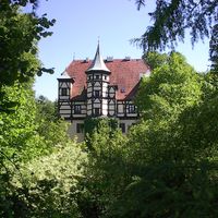
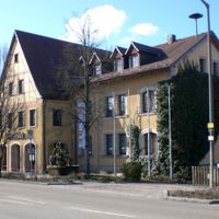
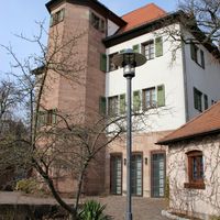
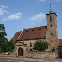
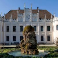
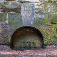
Each municipality in the region maintains local traditions through festivals and Franconian architecture visible in town centers. People here take pride in regional food and customs that define their communities.
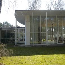
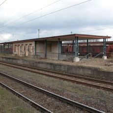
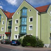
The area is well connected to major roads and provides access to schools, shops, and recreational facilities throughout the region. Visitors should plan time to explore the different towns and discover what each community offers.
The region includes about 40 distinct administrative areas, including specialized forest districts that together form a complex governance system. This diversity of smaller units makes the area interesting for exploring local structures and how communities operate independently.
Location: Middle Franconia
Inception: July 1, 1972
Capital city: Lauf an der Pegnitz
Elevation above the sea: 355 m
Shares border with: Erlangen-Höchstadt, Nuremberg, Roth, Neumarkt, Amberg-Sulzbach, Bayreuth, Forchheim District
Website: http://nuernberger-land.de
GPS coordinates: 49.50000,11.36667
Latest update: December 6, 2025 22:09
Nuremberg Zoo
17.1 km
Fränkisches Wunderland
18.8 km
Burg Veldenstein
19.5 km
Happurger See
8.5 km
Rothenberg Fortress
6 km
Burgruine Hohenstein
10.4 km
Höhenglücksteig
13.6 km
Academy of Fine Arts, Nuremberg
17.8 km
University of Altdorf
12.9 km
Moritzberg
5.6 km
Wenzelschloss
6.2 km
Badhaus Wendelstein
22.9 km
Doggerwerk in Happurg
8.2 km
Schwarzach-Durchbruch
19.9 km
Nuremberg-Langwasser
19.4 km
Mögeldorf
17.6 km
Schloss Grünsberg
14.6 km
Schloss
23.9 km
Schloss Ermreuth
20.1 km
Kloster Gnadenberg
14.9 km
Golden Cone of Ezelsdorf-Buch
19.4 km
Kasberger Linde
21.1 km
Houbirg
9.1 km
Erlenstegen
16.6 km
Hiltpoltstein Castle
18.1 km
Burgruine
23.3 km
Jägersee
19 km
Laufamholz
15.2 kmVisited this place? Tap the stars to rate it and share your experience / photos with the community! Try now! You can cancel it anytime.
Velden
Röthenbach an der Pegnitz
Lauf an der Pegnitz
Hersbruck
Altdorf bei Nürnberg
Schnaittach
Neuhaus an der Pegnitz
Feucht
Offenhausen
Neunkirchen am Sand
Leinburg
Kirchensittenbach
Henfenfeld
Hartenstein
Happurg
Engelthal
Burgthann
Alfeld
Winkelhaid
Vorra
Simmelsdorf
Schwarzenbruck
Schwaig bei Nürnberg
Rückersdorf
Reichenschwand
Pommelsbrunn
Ottensoos
Zerzabelshofer Forst
Rückersdorfer Forst
Laufamholzer Forst
Günthersbühler Forst
Forsthof
Fischbach
Feuchter Forst
Engelthaler Forst
Brunn
Behringersdorfer Forst
Schönberg
Haimendorfer Forst
Discover hidden gems everywhere you go!
From secret cafés to breathtaking viewpoints, skip the crowded tourist spots and find places that match your style. Our app makes it easy with voice search, smart filtering, route optimization, and insider tips from travelers worldwide. Download now for the complete mobile experience.
A unique approach to discovering new places❞
— Le Figaro
All the places worth exploring❞
— France Info
A tailor-made excursion in just a few clicks❞
— 20 Minutes