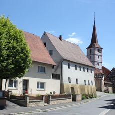
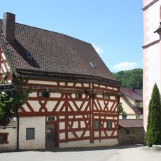
Schnaittach, Market municipality in Nürnberger Land, Bavaria, Germany
Schnaittach is a market municipality covering approximately 49.34 square kilometers at an elevation of 355 meters above sea level in the Nürnberger Land district of Bavaria.
The municipality has maintained its role as a local trading center since medieval times, with population records showing growth from 1,732 inhabitants in 1925 to over 8,300 residents by 2017.
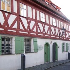
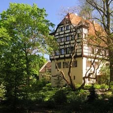
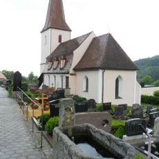
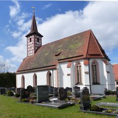
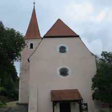
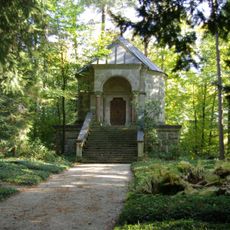
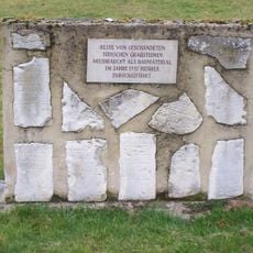
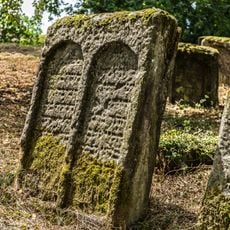
The town preserves its heritage through the Heimatmuseum and the Jewish Museum Franken, while hosting annual festivals and community events that celebrate regional traditions and history.
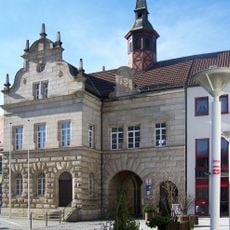
Schnaittach operates under postal code 91220 with municipal offices located at Marktplatz 1, providing residents access to educational facilities, healthcare services, and public transportation connections to nearby cities.
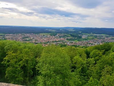
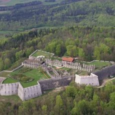
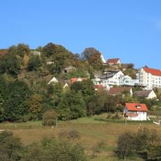
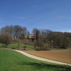
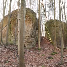
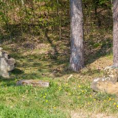
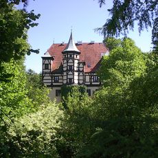
The Rothenberg landmark offers elevated views of the surrounding Bavarian landscape and serves as a geographic reference point that has influenced the town's historical development and settlement patterns.
The community of curious travelers
AroundUs brings together thousands of curated places, local tips, and hidden gems, enriched daily by 60,000 contributors worldwide.