
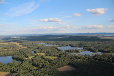
Charlottenhofer Weihergebiet, Hirtlohweiher und Langwiedteiche, protected area in the European Union defined by the habitats directive in Bayern, Germany
Location: Schwandorf
Inception: 2001
GPS coordinates: 49.36804,12.17072
Latest update: March 7, 2025 06:26
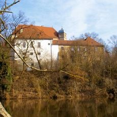
Schloss Fronberg
4.4 km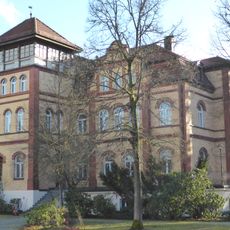
Schloss Charlottenhof
2.6 km
Charlottenhofer Weihergebiet
3.6 km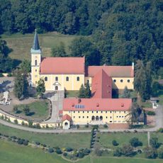
Dreifaltigkeitskirche (Schwarzenfeld)
3.5 km
Oberpfälzer Künstlerhaus
4.5 km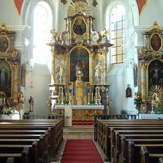
St. Dionysius und Ägidius
3.2 km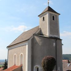
St. Bartholomäus (Altfalter)
4.3 km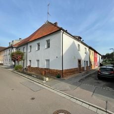
Altes Schloss Schwarzenfeld
3.3 km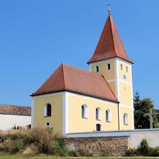
St. Johannes der Täufer
5.4 km
Ehemaliges Braunkohlengrubenfeld Rauberweiher
3.1 km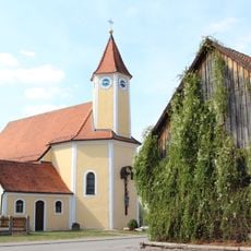
St. Wolfgang
4.3 km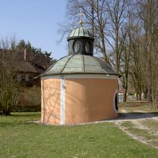
Petruskapelle
4.2 km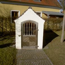
Wegkapelle
1.8 km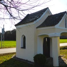
Feldkapelle
1.8 km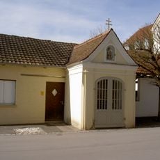
Wendelinkapelle
4.5 km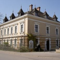
Ehemalige Villa Kebbel; seit 1988 Oberpfälzer Künstlerhaus
4.5 km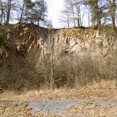
Felswand am Kolm NE von Oberwarnbach
5.1 km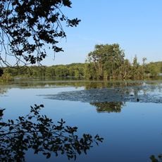
Charlottenhofer Weiher
2.5 km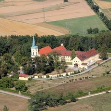
Dreifaltigkeitsberg - Miesberg - bei Schwarzenfeld
3.6 km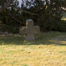
Steinkreuz Asbach
1.2 km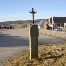
Wegkreuz
3.8 km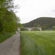
Eisenbahnbrücke Brensdorf
5.4 km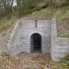
Ehemaliger Schwerspat-Stollen W von Furthmühle
5.1 km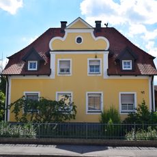
Wohnhaus
3.8 km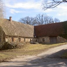
Bauernhof
2.8 km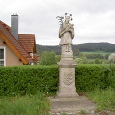
Nepomukstatue
4.1 km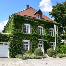
Wohnhaus, zeitweilig Rathaus
3.2 km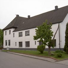
Ehemaliges Betriebsgebäude
4.6 kmReviews
Visited this place? Tap the stars to rate it and share your experience / photos with the community! Try now! You can cancel it anytime.
Discover hidden gems everywhere you go!
From secret cafés to breathtaking viewpoints, skip the crowded tourist spots and find places that match your style. Our app makes it easy with voice search, smart filtering, route optimization, and insider tips from travelers worldwide. Download now for the complete mobile experience.

A unique approach to discovering new places❞
— Le Figaro
All the places worth exploring❞
— France Info
A tailor-made excursion in just a few clicks❞
— 20 Minutes