
Wälder westlich Kirchheimbolanden, special protection areas in Rheinland-Pfalz, Germany
Location: Kirchheimbolanden
Location: Bolanden
Location: Dannenfels
Location: Ruppertsecken
Location: Kriegsfeld
Location: Oberwiesen
Inception: 2004
GPS coordinates: 49.67381,7.96335
Latest update: March 30, 2025 17:58

Donnersberg
6.4 km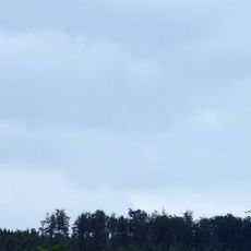
Sender Donnersberg
6.1 km
Pfrimm Viaduct
7.2 km
Königsstuhl (Donnersberg)
6.4 km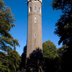
Ludwigs tower
6.1 km
Schloss Kirchheimbolanden
3.6 km
Paulskirche
3.5 km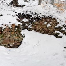
Tannenfels Castle
5.3 km
New Bolanden Castle
5.3 km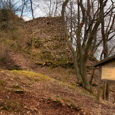
Wildenstein Castle (Palatinate)
7.2 km
Kappelberg
4.2 km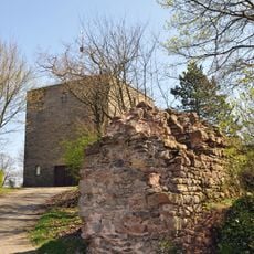
Burg Ruppertsecken
6.8 km
Marnheim railway station
7.9 km
Prämonstratenserabtei Rothenkirchen
1.1 km
Peterskirche
3.4 km
Mennonite Church Weierhof
6.7 km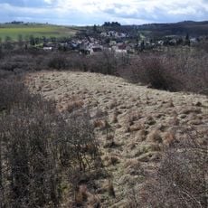
Kesselburg
6.7 km
Steinbühl-Schäfergraben
2.6 km
Katholische Kirche Bolanden
5.4 km
Synagoge (Kirchheimbolanden)
3.5 km
Jüdischer Friedhof
2.2 km
Protestantische Pfarrkirche
8 km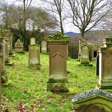
Jewish cemetery in Nieder-Wiesen
5.8 km
Museum Kirchheimbolanden
3.4 km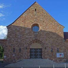
St. Matthäus
5.3 km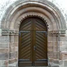
Protestantische Kirche (Orbis)
3.3 km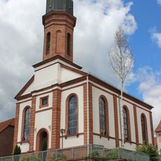
St. Bartholomäus
7 km
Schneckenturm
3.1 kmReviews
Visited this place? Tap the stars to rate it and share your experience / photos with the community! Try now! You can cancel it anytime.
Discover hidden gems everywhere you go!
From secret cafés to breathtaking viewpoints, skip the crowded tourist spots and find places that match your style. Our app makes it easy with voice search, smart filtering, route optimization, and insider tips from travelers worldwide. Download now for the complete mobile experience.

A unique approach to discovering new places❞
— Le Figaro
All the places worth exploring❞
— France Info
A tailor-made excursion in just a few clicks❞
— 20 Minutes