Donnersberg, Summit of Palatinate region, Germany
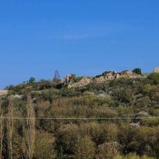
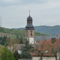
Donnersberg is the highest massif of the Palatinate, rising to 686.5 metres at the Königstuhl rock on the southwestern edge of a 300-hectare plateau. The massif covers about 24 square kilometres and lies between Rockenhausen and Kirchheimbolanden in Rhineland-Palatinate. Its summit ridge carries a thin mast, and the village of Dannenfels sits on the eastern flank.
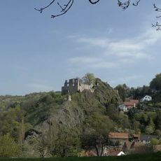
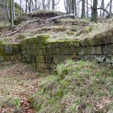
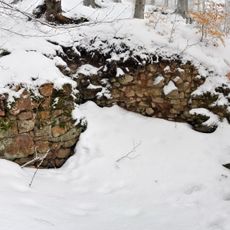
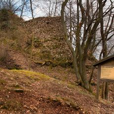
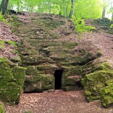
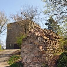
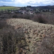
Around 150 BC, Celts built an oppidum on the Donnersberg plateau covering some 240 hectares, enclosed by a wall of which a section, the Keltenwall, has been reconstructed. Excavations continue at the site. In the Middle Ages five castles ringed the mountain: Tannenfels, Wildenstein, Hohenfels, Falkenstein and Ruppertsecken, today preserved only as ruins.
The name's origin is disputed: some linguists link it to Donar, the Germanic thunder god, others to the Celtic dunum (hill) or the god Taranis. The Latin Mons Jovis, "Jupiter's mountain", was coined later as a translation of the German name, not by the Romans. Visitors can walk the reconstructed Keltenwall of the Celtic oppidum.
The E8 European long-distance path crosses the massif, and the A63 motorway runs along its southern edge. The summit plateau is reached on foot; the Ludwigsturm stands about 900 metres east of the Königstuhl rock. The five castle ruins lie on the mountain's edges, so allow time to walk between them.
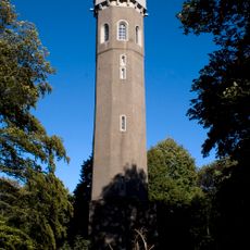
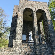
A 27-meter tall observation tower called Ludwigsturm stands about 900 meters east of the summit point Königstuhl, offering wide views across the region. The tower itself is a historical structure that gives visitors a different perspective on the mountain landscape.
The community of curious travelers
AroundUs brings together thousands of curated places, local tips, and hidden gems, enriched daily by 94,043 contributors worldwide.