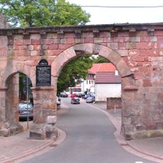
Donnersbergkreis, Administrative district in Rhineland-Palatinate, Germany.
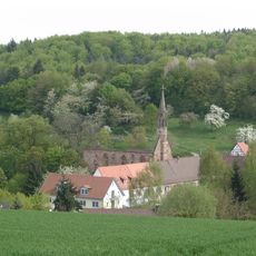
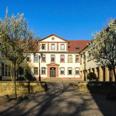
Donnersbergkreis is an administrative district in Rhineland-Palatinate covering varied landscapes with Kirchheimbolanden as its administrative center. The area comprises numerous municipalities connected through an established road network and local public transportation services.
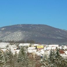
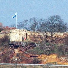
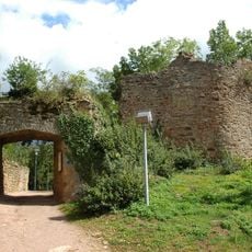
The territory became part of the French department of Mont-Tonnerre between 1798 and 1814 during Napoleon's eastward expansion. After this period, the area returned to German control and gradually developed into its present administrative shape.
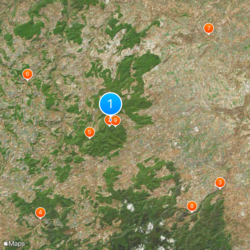
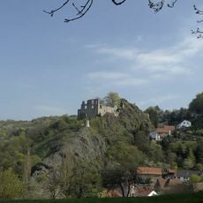
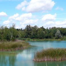
The district takes its name from Donnersberg mountain, a landmark that holds significance in local identity and regional pride. The surrounding communities maintain connections to this natural feature through their daily lives and local traditions.
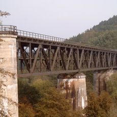
The district is accessible via established road connections to larger cities like Mannheim and Kaiserslautern. Local buses connect most municipalities and make travel within the region straightforward for visitors.
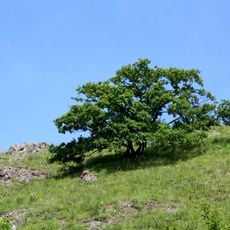
Donnersberg rises to 678 meters and stands as the highest elevation in the Palatinate, giving the region a distinctive geographic character. This mountain shapes the landscape and serves as a natural reference point for the surrounding communities.
The community of curious travelers
AroundUs brings together thousands of curated places, local tips, and hidden gems, enriched daily by 60,000 contributors worldwide.