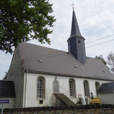
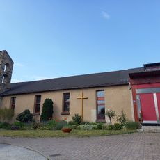
Laußnitzer Heide, Special Protection Area in Radeburg and Laußnitz, Germany
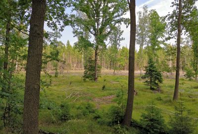
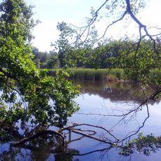
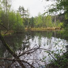
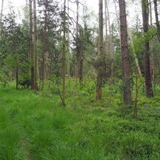
Laußnitzer Heide is a protected forest area northeast of Dresden consisting of pines, spruces, and larches mixed with scattered deciduous trees. The landscape comprises a varied composition of tree species distributed across gentle slopes and open clearings.
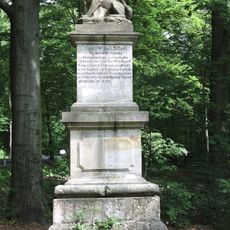
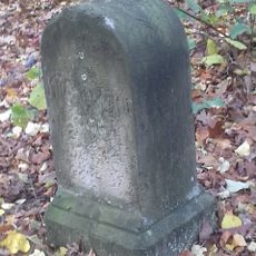
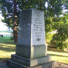
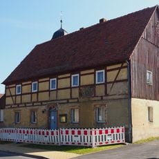
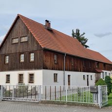
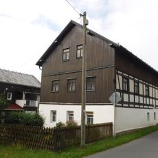
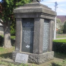
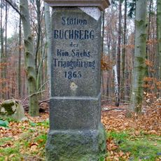
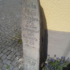
The area was abandoned after three villages were destroyed in 1431 until systematic replanting efforts began in the early modern period. These deliberate plantings shaped the forest-covered landscape that visitors encounter today.
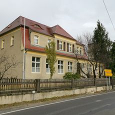
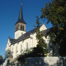
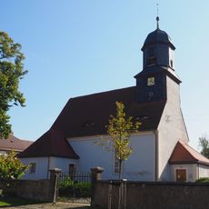
The area reflects the names of former villages that once stood here, with its woodland form showing human influence over time. Today's landscape demonstrates how deliberate work reshaped the land across generations.
A marked cycling network of about 43 kilometers traverses the area through various terrains including asphalt, unpaved tracks, and gravel paths. Visitors should wear footwear with good grip depending on seasonal and weather conditions.
A wolf pack returned to the area in 2019, reclaiming the forest after the species vanished at the end of the 18th century. This return demonstrates how wilderness is slowly recovering in Europe.
Location: Laußnitz
Location: Radeburg
Location: Ottendorf-Okrilla
Inception: 2007
GPS coordinates: 51.22060,13.84670
Latest update: December 12, 2025 12:02
Laußnitz Wolfsdenkmal
902 m
Fünfhufenteich
4.5 km
Kirche Ottendorf-Okrilla
3.8 km
Kirche Höckendorf
4.9 km
Moorwald am Pechfluss bei Medingen
4 km
St. Joseph der Werkmann (Ottendorf-Okrilla)
3.8 km
Waldmoore bei Großdittmannsdorf
4.9 km
Pulsnitzer Straße 22, Schule
4.6 km
Kirche, fünf Grabmale, eine Grabanlage und Denkmal für die Gefallenen des Ersten Weltkrieges auf dem Kirchhof, zwei Steinbänke und ein Grabmal auf dem Friedhof sowie gesamte Einfriedungsmauer mit fünf schmiedeeisernen Toren (Einzeldenkmale zu ID-
3.8 km
Samendarre Laußnitz
3.5 km
Ehem. Schule Würschnitz, Ottendorfer Straße 9
4 km
Dorfkirche Würschnitz Würschnitz, Ottendorfer Straße
3.9 km
Kgl.-sächs. Postmeilenstein Laußnitz
1 km
Gutshaus Höckendorf
4.7 km
Kriegerdenkmal Kleinnaundorf
4.8 km
Rathaus
4.2 km
Pfarrhaus Würschnitz, Ottendorfer Straße 10
3.9 km
Wohnstallhaus Radeberger Straße 29
3.9 km
Zum Springbach 28
4.8 km
Denkmal für die Gefallenen des Ersten Weltkrieges Pulsnitzer Straße (Ecke Hofegasse)
4.5 km
Station 29 Buchberg
1.7 km
Auszugshaus Würschnitz, Ottendorfer Straße 5
4 km
Gasthof Kleinnaundorf
4.9 km
Sechs Grenzsteine Schlägenweg (Gemarkung Höckendorf; Flurstücke 739, 741, 749, 751)
2.9 km
Wegestein Pulsnitzer Straße (Ecke Königsbrücker Straße)
4.3 km
Wegestein Würschnitz, Radeburger Straße 11 (vor)
4 km
Pulsnitzer Straße 21
5 km
Auszüglerhaus eines Dreiseithofes Radeberger Straße 43
3.9 kmVisited this place? Tap the stars to rate it and share your experience / photos with the community! Try now! You can cancel it anytime.
Discover hidden gems everywhere you go!
From secret cafés to breathtaking viewpoints, skip the crowded tourist spots and find places that match your style. Our app makes it easy with voice search, smart filtering, route optimization, and insider tips from travelers worldwide. Download now for the complete mobile experience.
A unique approach to discovering new places❞
— Le Figaro
All the places worth exploring❞
— France Info
A tailor-made excursion in just a few clicks❞
— 20 Minutes