
Nörvenicher Wald, nature reserve in Germany
Location: Nörvenich
Inception: 2016
GPS coordinates: 50.81587,6.64792
Latest update: March 30, 2025 20:06
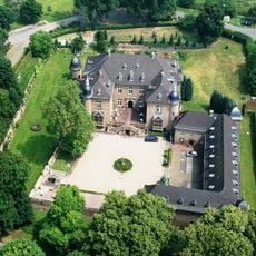
Schloss Nörvenich
812 m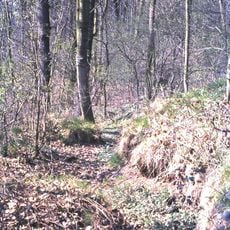
Alte Burg
464 m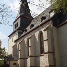
St. Viktor
2.1 km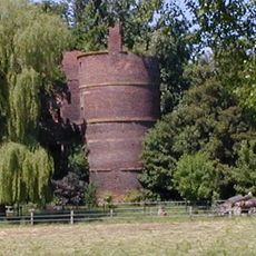
Harff’sche Burg
1.2 km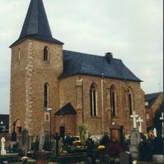
St. Medardus
1.1 km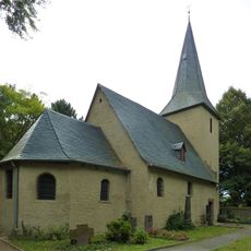
Antoniuskapelle
965 m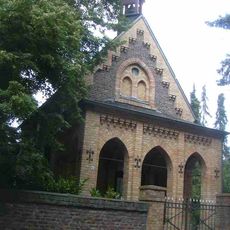
Termelineskapelle Ollesheim
2.7 km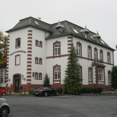
Villa Sophienhöhe
1.9 km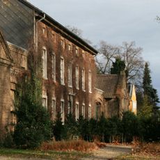
Gut Ollesheim
2.6 km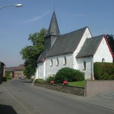
St. Margaretha
3.3 km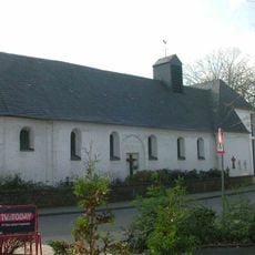
Saint Nicholas Chapel
2.4 km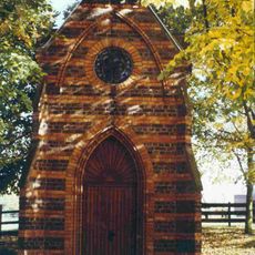
Annakapelle
3.4 km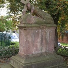
Fußfall (Hochkirchen)
2.2 km
Burggraben und Park von Schloss Nörvenich
880 m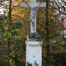
Wegekreuz Pützstraße
3.3 km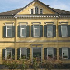
Burg Niederbolheim
2.2 km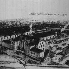
Antoniterhof
903 m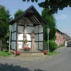
Kalvarienberg
3.2 km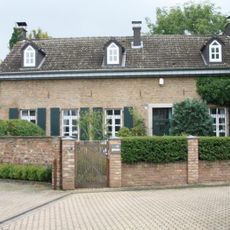
Häuser An der Vikarie 1 und 2 (Nörvenich)
896 m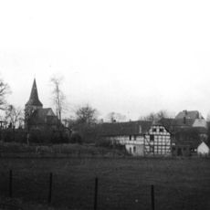
Oberbolheimer Mühle
902 m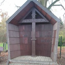
Passionskreuz (Gut Ving)
3.3 km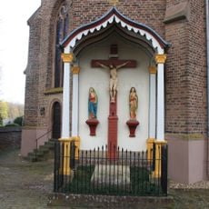
Missionskreuz Nörvenich
1.1 km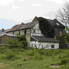
Obere Mühle
1.5 km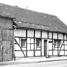
Haus Bahnhofstraße 11 (Nörvenich)
888 m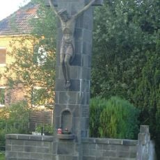
Friedhofshochkreuz (Nörvenich)
1.2 km
Heiligenhaus Am Kreuzberg
804 m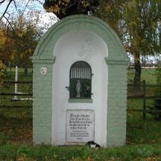
Heiligenhaus (Dorweiler)
3.3 km
Nörvenich town hall
846 mReviews
Visited this place? Tap the stars to rate it and share your experience / photos with the community! Try now! You can cancel it anytime.
Discover hidden gems everywhere you go!
From secret cafés to breathtaking viewpoints, skip the crowded tourist spots and find places that match your style. Our app makes it easy with voice search, smart filtering, route optimization, and insider tips from travelers worldwide. Download now for the complete mobile experience.

A unique approach to discovering new places❞
— Le Figaro
All the places worth exploring❞
— France Info
A tailor-made excursion in just a few clicks❞
— 20 Minutes