
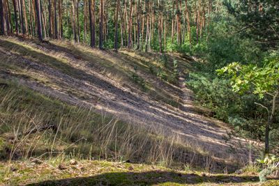
Südliches Steigerwaldvorland, special protection areas in Bayern, Germany
Location: Kitzingen
Inception: 2004
GPS coordinates: 49.74826,10.33811
Latest update: March 9, 2025 20:46
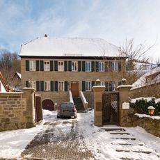
Pfarrhaus
1.3 km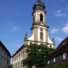
St. Johannes
1.3 km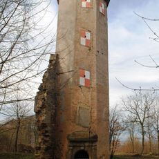
Burgruine
1.6 km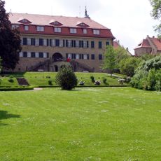
Schlosspark Castell
1.1 km
Gasthaus
1.3 km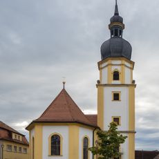
St. Peter and Paul (Rüdenhausen)
1.9 km
Rathaus Rüdenhausen
1.9 km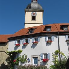
Pfarrkirche
2.1 km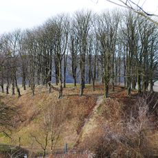
Turmhügel Altcastell
1.6 km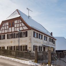
Im Oberdorf 2 (Castell, Bavaria)
1.2 km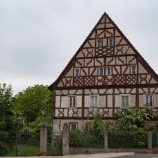
Jahnstraße 6 (Rüdenhausen)
1.9 km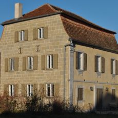
Wohnhaus
2.3 km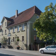
Gasthaus Zum Schwan
968 m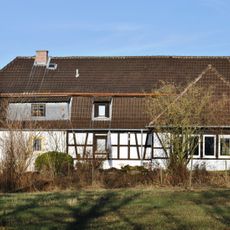
Dinkelmühle
828 m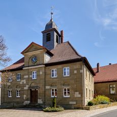
Evangelische Kirche
2.2 km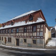
Im Oberdorf 1 (Castell)
1.2 km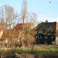
Eselsmühle
1.1 km
Im Oberdorf 9 (Castell)
1.3 km
Bergstraße 5 (Castell, Bavaria)
1.3 km
Bergstraße 2 (Castell)
1.3 km
Kniebrecher 3
1.2 km
Gasthaus Zum Ross (Greuth)
2.2 km
Kirchberger Gut
1.3 km
Birklinger Straße 4 (Castell, Bavaria)
990 m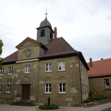
Kirche
2.2 km
Bauernhaus
2.2 km
Wohn- und Geschäftshaus
2.2 km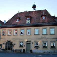
Rathaus
2.3 kmReviews
Visited this place? Tap the stars to rate it and share your experience / photos with the community! Try now! You can cancel it anytime.
Discover hidden gems everywhere you go!
From secret cafés to breathtaking viewpoints, skip the crowded tourist spots and find places that match your style. Our app makes it easy with voice search, smart filtering, route optimization, and insider tips from travelers worldwide. Download now for the complete mobile experience.

A unique approach to discovering new places❞
— Le Figaro
All the places worth exploring❞
— France Info
A tailor-made excursion in just a few clicks❞
— 20 Minutes