
Untere Isar oberhalb Mündung, special protection areas in Bayern, Germany
Location: Dingolfing-Landau
Location: Deggendorf
Inception: 2006
GPS coordinates: 48.73256,12.85725
Latest update: March 3, 2025 10:17

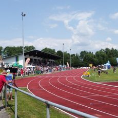
Karl-Weinberger-Stadion
4.6 km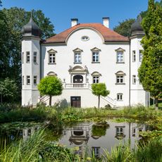
Schloss Niederpöring
2.6 km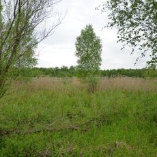
Isaraltwasser bei Neutiefenweg
1.5 km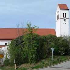
Pfarrkirche St. Martin
4.2 km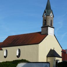
St. Kilian (Tabertshausen)
1.8 km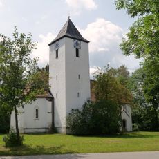
Katholische Filialkirche St. Jakobus der Ältere
3.9 km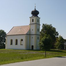
Katholische Filialkirche St. Ulrich
3.6 km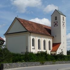
St. Stephanus (Aholming)
4.1 km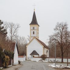
Katholische Filialkirche St. Stephan
3.7 km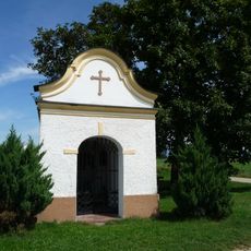
Feldkapelle
3.9 km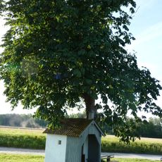
Feldkapelle
968 m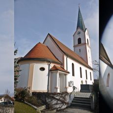
Katholische Filialkirche St. Nikolaus
2.6 km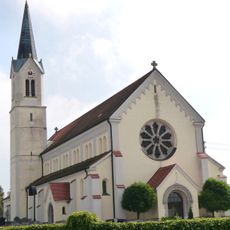
Katholische Pfarrkirche St. Laurentius
4.9 km
Wegkapelle
3.5 km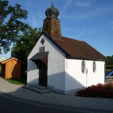
Kriegergedächtniskapelle
237 m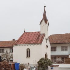
Kapelle St. Maria
4.8 km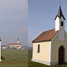
Feldkapelle
4.3 km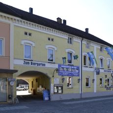
Gasthaus
5 km
Wohnstallhaus
4.4 km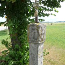
Bildstock
2.8 km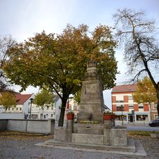
Kriegerdenkmal Plattling
5 km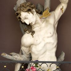
Heiligenfigur, Halbfigur des Hl. Sebastian
4.9 km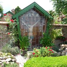
Kruzifix
383 m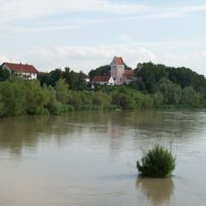
Untere Isar zwischen Landau und Plattling
4 km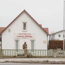
St-Johann-Nepomuk-Museum
4.8 km
Ehemaliges Kleinbauernhaus
2.5 km
Bildstock
4.1 km
Herzog Albrecht Brücke
4.8 kmReviews
Visited this place? Tap the stars to rate it and share your experience / photos with the community! Try now! You can cancel it anytime.
Discover hidden gems everywhere you go!
From secret cafés to breathtaking viewpoints, skip the crowded tourist spots and find places that match your style. Our app makes it easy with voice search, smart filtering, route optimization, and insider tips from travelers worldwide. Download now for the complete mobile experience.

A unique approach to discovering new places❞
— Le Figaro
All the places worth exploring❞
— France Info
A tailor-made excursion in just a few clicks❞
— 20 Minutes