
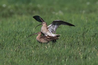
Wiesenbrütergebiete im Unteren Isartal, special protection areas in Bayern, Germany
Location: Landshut
Location: Dingolfing-Landau
Inception: 2007
GPS coordinates: 48.66115,12.52061
Latest update: March 6, 2025 22:36
Königsauer Moos
1.9 km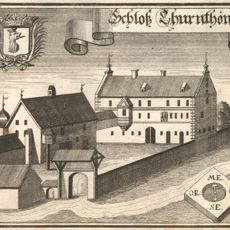
Cultural heritage D-2-7341-0421 in Moosthenning
2.7 km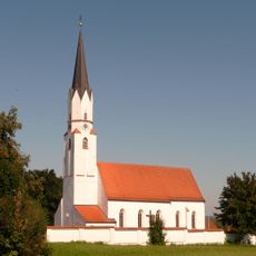
St. Stephan (Gottfrieding)
2.8 km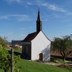
Großweiher St. Stephan
3.7 km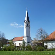
Moosthenning Kirche St. Maria
2.5 km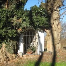
Golding-Lourdesgrotte
3.4 km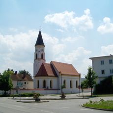
Katholische Filialkirche St. Antonius
3.1 km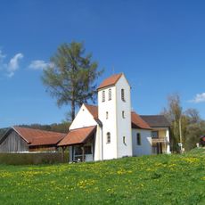
Fost Dorfkapelle
3.6 km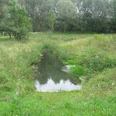
Schutz von Landschaftsteilen in der Stadt Dingolfing, dem Markt Teisbach, sowie den Gemeinden Gottfrieding, Loiching, Mamming und Niederviehbach im Landkreis Dingolfing (LSG Isartal)
3.8 km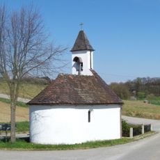
Wolfsacker Bruder Konrad Kapelle
3.2 km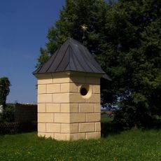
Thürnthenning Wieskapelle (Moosthenning)
2.7 km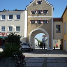
Wollertor
3.8 km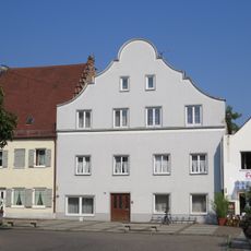
Bürgerhaus
3.8 km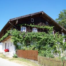
Wohnstallhaus
2.7 km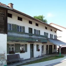
Ehem. Schmiede
2.6 km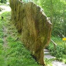
Unteres Isartal zwischen Niederviehbach und Landau
1.5 km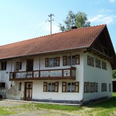
Kleinbauernhaus
2.5 km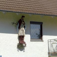
Heiligenfigur
2.4 km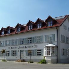
Gasthaus
2.5 km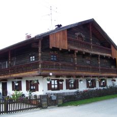
Hakenhof
2.4 km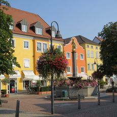
Mariensäule
3.9 km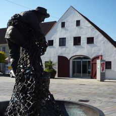
Stadel
3.9 km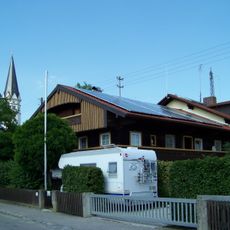
Ehem. Bauernhaus
2.4 km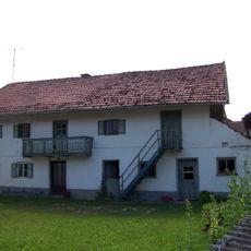
Bauernhaus eines Dreiseithofes
2.7 km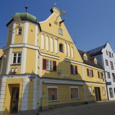
Bürgerhaus
3.9 km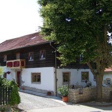
Kleinbauernhaus
2.5 km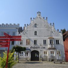
Ehem. Gastwirtschaft und Bürgerhaus
4 km
Brauereigasthof Alte Post
4 kmReviews
Visited this place? Tap the stars to rate it and share your experience / photos with the community! Try now! You can cancel it anytime.
Discover hidden gems everywhere you go!
From secret cafés to breathtaking viewpoints, skip the crowded tourist spots and find places that match your style. Our app makes it easy with voice search, smart filtering, route optimization, and insider tips from travelers worldwide. Download now for the complete mobile experience.

A unique approach to discovering new places❞
— Le Figaro
All the places worth exploring❞
— France Info
A tailor-made excursion in just a few clicks❞
— 20 Minutes