
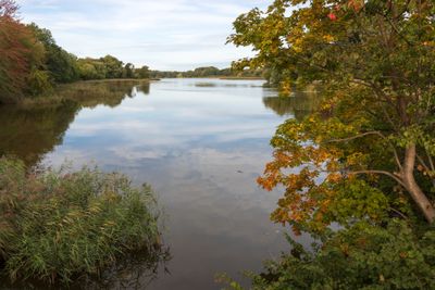
Stadtteiche und Grünanlagen von Stralsund, protected landscape in Mecklenburg-Vorpommern, Germany
Location: Stralsund
Inception: 1940
GPS coordinates: 54.31520,13.07500
Latest update: April 2, 2025 11:43
German Maritime Museum
834 m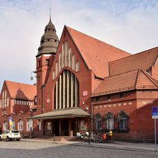
Stralsund Hauptbahnhof
748 m
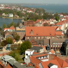
St Katharinen in Stralsund
868 m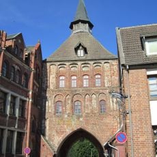
Kütertor
735 m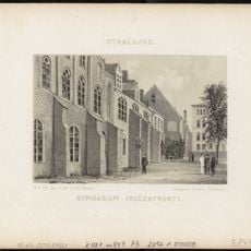
Gymnasium Stralsund
868 m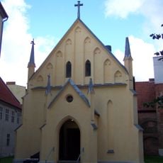
Chapelle Saintes-Anne-et-Brigitte de Stralsund
241 m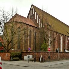
Katharinenkirche
847 m
Mönchstraße 13
860 m
Kampischer Hof
764 m
Schillstraße 39 (Stralsund)
856 m
Knieperwall 1 (Stralsund)
779 m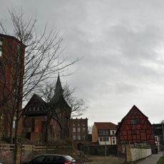
Am Kütertor 1 (Stralsund)
716 m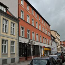
Tribseer Straße 26
875 m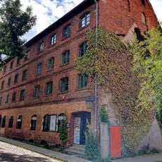
Katharinenberg 34/35
795 m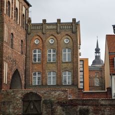
Am Kütertor 4
735 m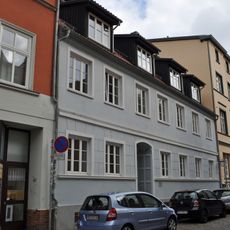
Tribseer Straße 25
876 m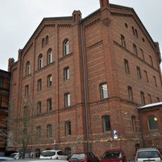
Bielkenhagen 8
787 m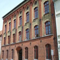
Schillstraße 6
866 m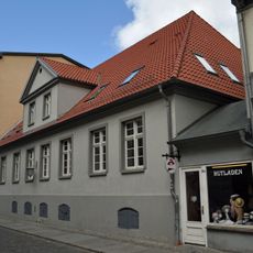
Tribseer Straße 24 a
881 m
Tribseer Straße 30
866 m
Heilgeiststraße 2/3 (Stralsund)
749 m
Tribseer Straße 7
889 m
Tribseer Straße 24
887 m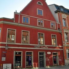
Heilgeiststraße 9
878 m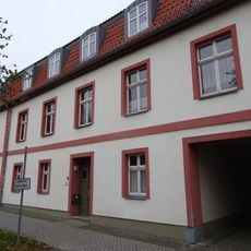
Knieperwall 1 a
734 m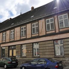
Tribseer Straße 8
889 m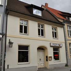
Tribseer Straße 28
874 m
Tribseer Straße 27
873 mVisited this place? Tap the stars to rate it and share your experience / photos with the community! Try now! You can cancel it anytime.
Discover hidden gems everywhere you go!
From secret cafés to breathtaking viewpoints, skip the crowded tourist spots and find places that match your style. Our app makes it easy with voice search, smart filtering, route optimization, and insider tips from travelers worldwide. Download now for the complete mobile experience.

A unique approach to discovering new places❞
— Le Figaro
All the places worth exploring❞
— France Info
A tailor-made excursion in just a few clicks❞
— 20 Minutes