
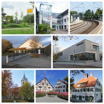
Rommelshausen, Ortsteil von Kernen im Remstal
Location: Kernen im Remstal
Elevation above the sea: 270 m
GPS coordinates: 48.80667,9.32167
Latest update: March 12, 2025 17:23
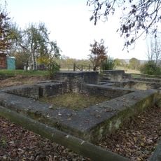
Villa rustica
819 m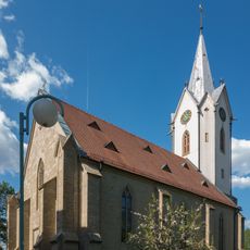
Saint Maurice Church
114 m
Architektenwohnhäuser
1.8 km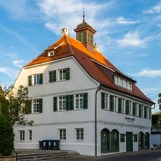
Altes Rathaus
132 m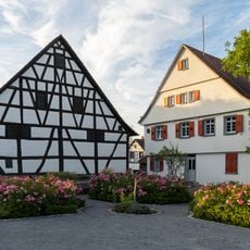
Alter Pfarrhof
165 m
Alte Kelter
720 m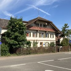
Schweizerhaus
284 m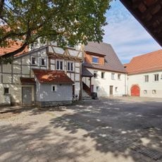
Neuschenhof
155 m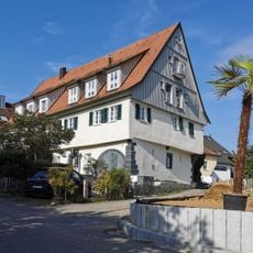
Glockenhof
278 m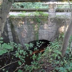
Steinbrücke über den Beibach
1.3 km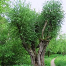
Feuchtwiesen mit alter Kopfweide
1 km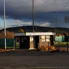
Saint-Rambert-Stadion
780 m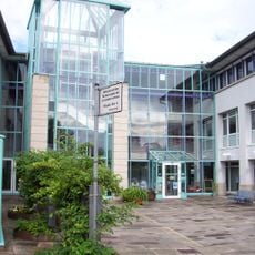
Rathaus
101 m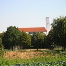
Herz-Jesu-Kirche
719 m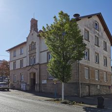
Altes Schulhaus
167 m
Neuapostolische Gemeinde Kernen-Rommelshausen
675 m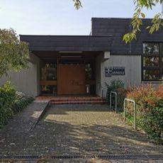
Friedenskirche
89 m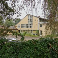
Kirchsaal
818 m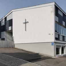
Christusbund Rommelshausen
253 m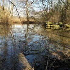
Beibach mit Teich und Feuchtflächen
1.3 km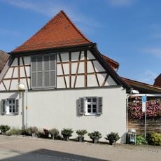
Bauernhaus
168 m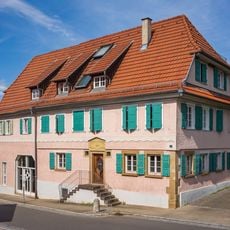
Bauernhaus
168 m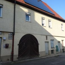
Weingärtnerhaus
120 m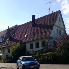
Gehöft
246 m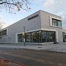
Bürgerhaus
99 m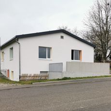
Jugendhaus K7
859 m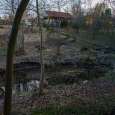
Quellteich im Beibachtal
1.3 km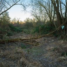
Feuchtflächen u.Gehölze im Gebiet der Hartwiesen
1.8 kmVisited this place? Tap the stars to rate it and share your experience / photos with the community! Try now! You can cancel it anytime.
Discover hidden gems everywhere you go!
From secret cafés to breathtaking viewpoints, skip the crowded tourist spots and find places that match your style. Our app makes it easy with voice search, smart filtering, route optimization, and insider tips from travelers worldwide. Download now for the complete mobile experience.

A unique approach to discovering new places❞
— Le Figaro
All the places worth exploring❞
— France Info
A tailor-made excursion in just a few clicks❞
— 20 Minutes