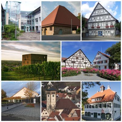
Kernen im Remstal, municipality in Germany
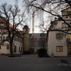
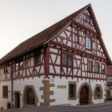
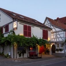
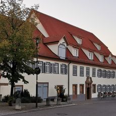
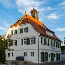
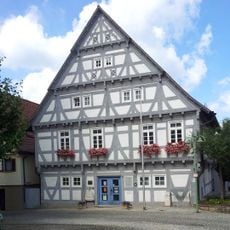
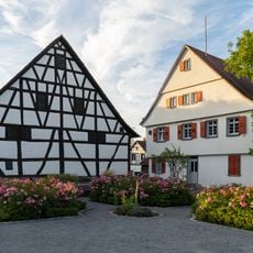
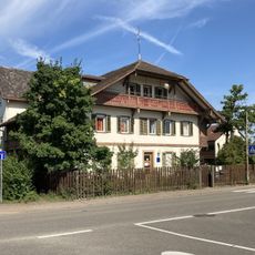
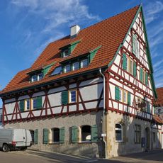
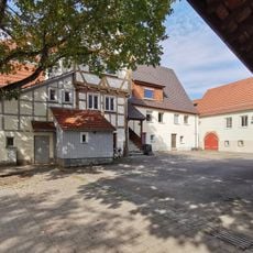
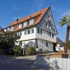
Kernen im Remstal is a municipality in Baden-Württemberg consisting of two villages: Rommelshausen and Stetten im Remstal. The area features gently rolling landscapes with vineyards, fields, and country roads, while timber-framed houses in the village centers reflect the region's traditional building style.
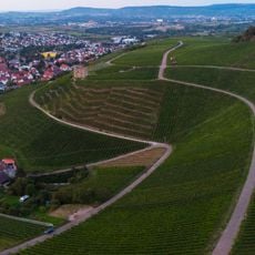
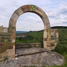
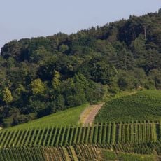
The municipality was formed in 1975 through the merger of Rommelshausen and Stetten im Remstal and officially received its name in 1977. Wine growing in the area is documented from 1379 onward and has shaped the development of both villages across centuries.
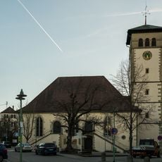
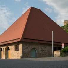
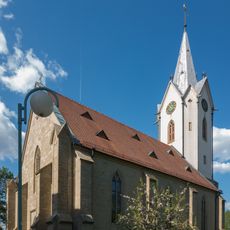
Wine growing has shaped the area for about 600 years and remains visible in the steep hillside vineyards that define the landscape. The two villages each have their own church and central gathering spaces where residents maintain local traditions and community life.
The area is well connected by public transport with a railway line linking Rommelshausen to Stuttgart and regular bus service to neighboring towns. Visitors can enjoy walking trails through the vineyards and cycling routes that wind through the countryside.
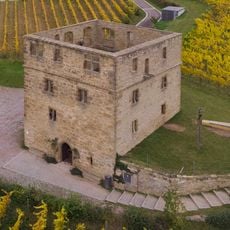
A local vineyard location called Brotwasser has an interesting origin story: a court lady once hid her wine behind a jug meant for water, giving the vineyard its unusual name. This tale reflects how deeply wine culture is woven into the area's heritage.
The community of curious travelers
AroundUs brings together thousands of curated places, local tips, and hidden gems, enriched daily by 60,000 contributors worldwide.