
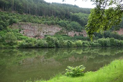
Unteres Neckartal bei Hirschhorn, special protection areas in Hessen, Germany
Location: Neckarsteinach
Location: Michelbuch
Location: Hirschhorn
Inception: 2010
GPS coordinates: 49.43043,8.89992
Latest update: March 3, 2025 01:39
Bergfeste Dilsberg
5.8 km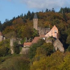
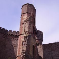
Hirschhorn Castle
2.1 km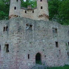
Burg Schadeck
6.1 km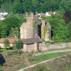
Mittelburg
5.4 km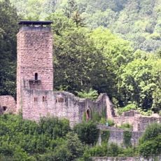
Hinterburg
5.7 km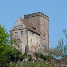
Vorderburg
5.2 km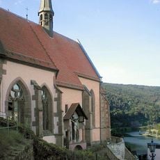
Carmelite Monastery Church of the Annunciation
2.1 km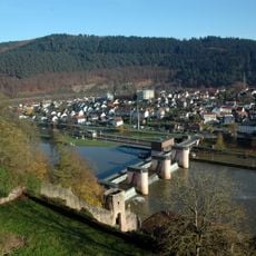
Hirschhorn barrage
2.1 km
Sotten
4.3 km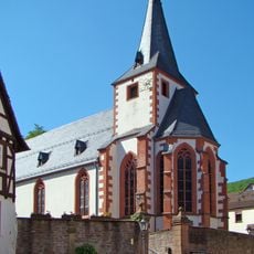
Evangelical church in Neckarsteinach
5.2 km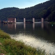
Staustufe Neckarsteinach
5.3 km
Sebastianskapelle (Darsberg)
3.8 km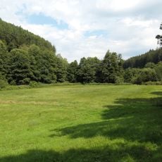
Hainbrunner Tal bei Hirschhorn
4.5 km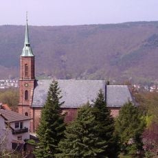
St.-Bartholomäus-Kirche
5.7 km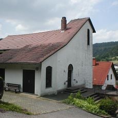
Jesus-Christus-Kirche am Berg von Allemühl
4.2 km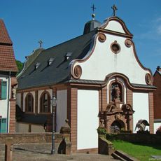
Herz-Jesu-Kirche
5.1 km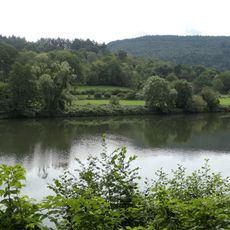
Weidenau von Hirschhorn
1.2 km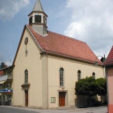
Evangelische Kirche (Waldwimmersbach)
6.1 km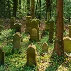
Jüdischer Friedhof Hirschhorn
2.3 km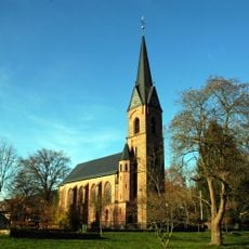
Evangelische Kirche
1.7 km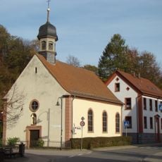
St. Peter und Paul
6.1 km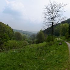
Brombachertal
5.2 km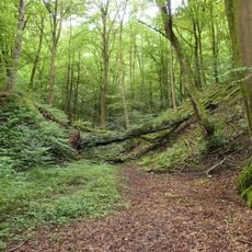
Neckarufer Seitelsgrund-Moosklinge
1.8 km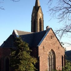
Evangelische Kirche Dilsberg
5.8 km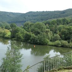
Weidenau von Hirschhorn
1.3 km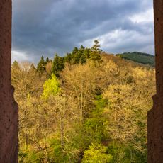
Odenwald bei Hirschhorn
2.6 km
Friedenslinde Dilsberg
5.7 km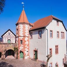
Kommandantenhaus
5.7 kmVisited this place? Tap the stars to rate it and share your experience / photos with the community! Try now! You can cancel it anytime.
Discover hidden gems everywhere you go!
From secret cafés to breathtaking viewpoints, skip the crowded tourist spots and find places that match your style. Our app makes it easy with voice search, smart filtering, route optimization, and insider tips from travelers worldwide. Download now for the complete mobile experience.

A unique approach to discovering new places❞
— Le Figaro
All the places worth exploring❞
— France Info
A tailor-made excursion in just a few clicks❞
— 20 Minutes