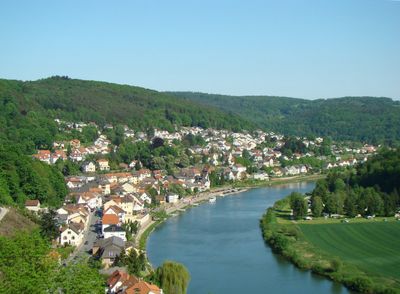
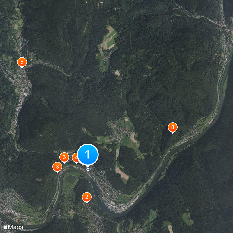
Neckarsteinach, Medieval town with four castles near Heidelberg, Germany
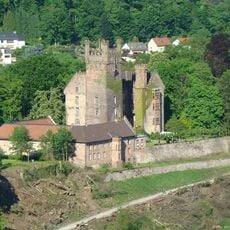
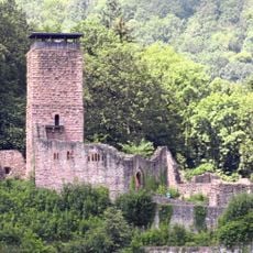
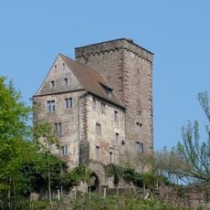
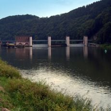
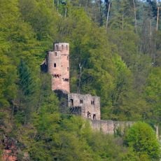
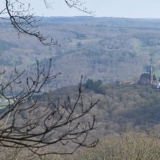
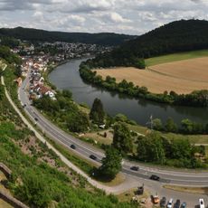
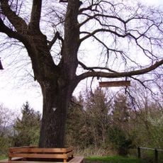
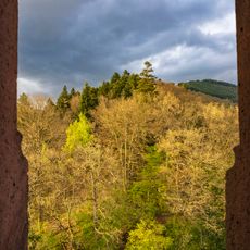
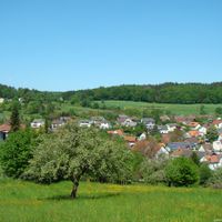
Neckarsteinach sits where the Steinach brook meets the Neckar river, nestled among forested hills with stone fortifications lining the riverbanks. The town spreads across the valley floor and hillsides, shaped by four castle structures positioned at different elevations around the settlement.
The settlement gained town status in the early 1400s after a period of gradual development and fortification spanning previous centuries. A connection to the Count Palatine in 1377 marked a turning point that increased the town's political importance.
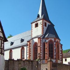
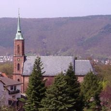
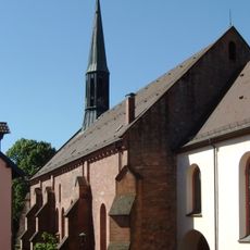
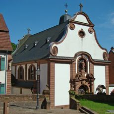
The Late Gothic church displays stone epitaphs and artworks connected to the local Landschad von Steinach nobility. Walking through the interior, visitors can observe how these family monuments reflect their long presence and influence in the region.
The town connects to surrounding areas through the Neckartalbahn railway line, with regular service linking it to larger towns nearby. The Bundesstrasse 37 runs through the region, making driving access straightforward for those traveling by car.
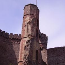
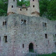
Over a span of roughly 130 years between the 12th and 13th centuries, a local noble family built four separate castles on the hillsides surrounding the town. Each structure served different functions in a coordinated defensive and administrative system.
The community of curious travelers
AroundUs brings together thousands of curated places, local tips, and hidden gems, enriched daily by 60,000 contributors worldwide.