
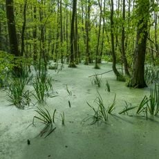
Naturentwicklungsgebiet Redernswalde, nature reserve in Brandenburg, Germany
Location: Friedrichswalde
Inception: January 4, 2008
Part of: Schorfheide-Chorin Biosphere Reserve
GPS coordinates: 53.05040,13.85180
Latest update: March 31, 2025 06:01
Grumsiner Forst/Redernswalde
5.7 km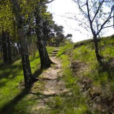
Mesolithischer Bestattungsplatz von Groß Fredenwalde
9 km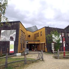
Blumberger Mühle
7.8 km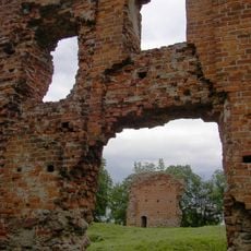
Greiffenberg Castle
8.8 km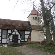
Dorfkirche
6.5 km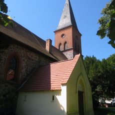
Ringenwalde church
9 km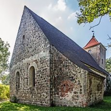
Dorfkirche Stegelitz
8.7 km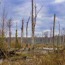
Poratzer Moränenlandschaft
2.2 km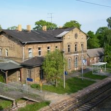
Wilmersdorf (b Angermünde) railway station
7.3 km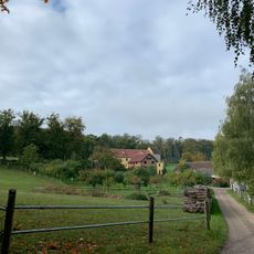
Gehegemühle
7.7 km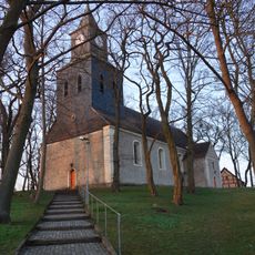
Village church Greiffenberg (Uckermark)
8.2 km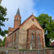
Village church Altkünkendorf
5 km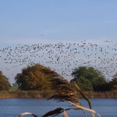
Fischteiche Blumberger Mühle
6.5 km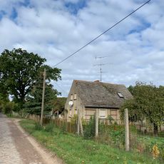
Luisenfelde
9.2 km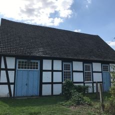
Church in Wilmersdorf (Uckermark)
7.6 km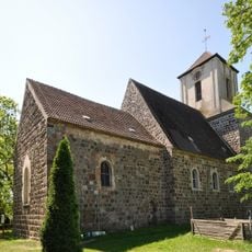
Village church Kerkow
9.2 km
Church in Steinhöfel
5.2 km
Dorfkirche Glambeck
3.6 km
Dorfkirche Parlow
6.7 km
Sperlingsherberge
8.8 km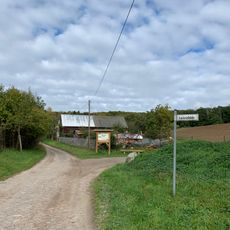
Albrechtshöhe
8.8 km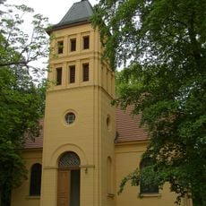
Church in Görlsdorf
6.5 km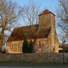
Village church Bruchhagen
8.9 km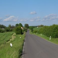
Landschaftsschutzgebiet Biosphärenreservat Schorfheide-Chorin
6.2 km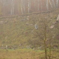
Naturdenkmal Blockpackung bei Ausbau „Sperlingsherberge“ in Groß-Ziethen
8.6 km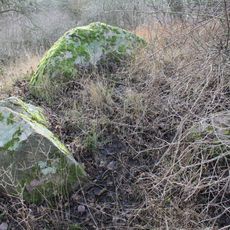
Großsteingrab Stegelitz 1
8.7 km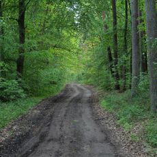
Poratzer Moränenlandschaft
4.5 km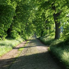
Allee Ringenwalde – Poratz
7.3 kmReviews
Visited this place? Tap the stars to rate it and share your experience / photos with the community! Try now! You can cancel it anytime.
Discover hidden gems everywhere you go!
From secret cafés to breathtaking viewpoints, skip the crowded tourist spots and find places that match your style. Our app makes it easy with voice search, smart filtering, route optimization, and insider tips from travelers worldwide. Download now for the complete mobile experience.

A unique approach to discovering new places❞
— Le Figaro
All the places worth exploring❞
— France Info
A tailor-made excursion in just a few clicks❞
— 20 Minutes