
Unteres Osterzgebirge, protected landscape in Sachsen, Germany
Location: Sächsische Schweiz-Osterzgebirge
Inception: 2000
GPS coordinates: 50.86330,13.89640
Latest update: March 2, 2025 21:23
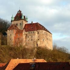
Schloss Kuckuckstein
2.8 km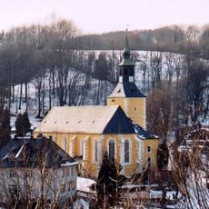
Church in Liebstadt
2.9 km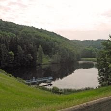
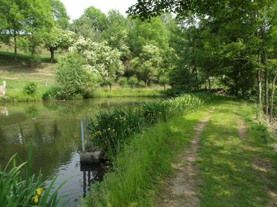
Rückhaltebecken Liebstadt
3.5 km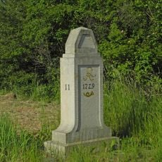
Polish-Saxon Post Milestones in Borna Bahretal
3.1 km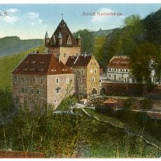
Kuckuckstein castle
2.6 km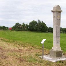
Polish-Saxon Post Milestone Börnersdorf
3.2 km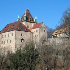
Schloss Kuckuckstein
2.7 km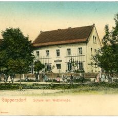
Schule Göppersdorfer Straße 9b
376 m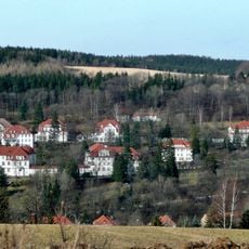
Sachgesamtheit '''Klinik Bad Gottleuba''' mit Einzeldenkmalen: Stationshäuser 1 bis 13, 16, 17, 22, 25, 27, 28, 29, 31, und 32, dazu Parkanlage (Gartendenkmal) und Sachgesamtheitsteile: Kandelaber und Einfriedungspfosten um gesamtes Gelände Königs
3.2 km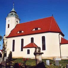
Borna church
2.1 km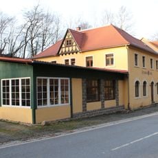
Schneckenmühle
3.5 km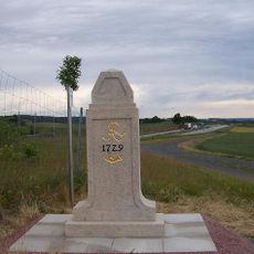
Polish-Saxon Post Milestones Göppersdorf
1.7 km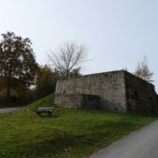
Kalkofen Bad Gottleuba, Kurort
3.1 km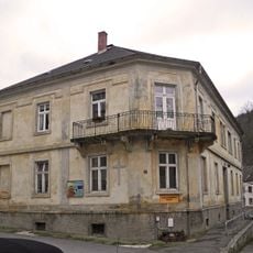
Kirchgemeindehaus in offener Bebauung Markt 14
3.5 km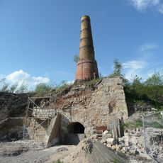
Kalköfen und Kalkabbau Bahretal Borna
2.2 km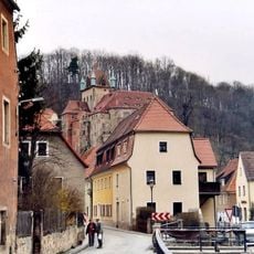
Wohnhaus (mit zwei Hausnummern) in offener Bebauung Markt 15; 17
2.9 km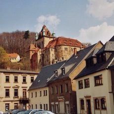
Wohnhaus in halboffener Bebauung und Ecklage Markt 7
2.8 km
Klinik Bad Gottleuba
3.2 km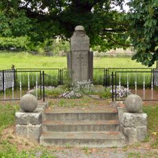
Denkmal für die Gefallenen des Ersten und des Zweiten Weltkrieges Göppersdorfer Straße -
586 m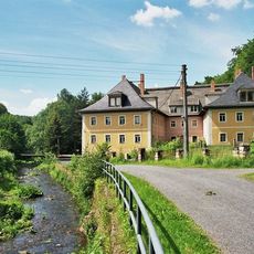
Einzeldenkmale der Sachgesamtheit Rittergut Giesenstein: Herrenhaus, zwei Wirtschaftsgebäude, zwei Scheunen, Bergkeller und Einfriedung (Einzeldenkmal zu ID-Nr. 09303855) Giesenstein 1; 1b; 2; 3; 4; 5
3.5 km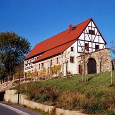
Südliches Wohnstallhaus, östliches Wohnstallhaus und nördliche Scheune eines ehem. Vierseithofes sowie Brunnen im Hof und Hofmauer mit Pforte und Tor Borna 1
2.3 km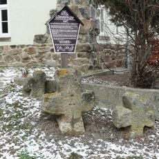
Drei Steinkreuze Glashütter Straße 6 (bei)
3.2 km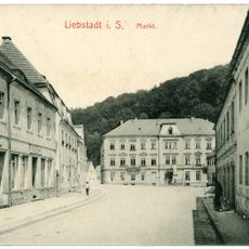
Gasthof in offener Bebauung und Ecklage Markt 1
2.8 km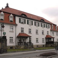
Doppelwohnhaus Königstraße 41; 43
3.5 km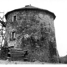
Windmühle Liebstadt Liebstadt
3.4 km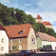
Wohnhaus (mit Inschrifttafel) in offener Bebauung Pirnaer Straße 12
2.8 km
Wohnhaus Königstraße 45
3.5 km
Wohnhaus in geschlossener Bebauung Markt 16
3.5 kmReviews
Visited this place? Tap the stars to rate it and share your experience / photos with the community! Try now! You can cancel it anytime.
Discover hidden gems everywhere you go!
From secret cafés to breathtaking viewpoints, skip the crowded tourist spots and find places that match your style. Our app makes it easy with voice search, smart filtering, route optimization, and insider tips from travelers worldwide. Download now for the complete mobile experience.

A unique approach to discovering new places❞
— Le Figaro
All the places worth exploring❞
— France Info
A tailor-made excursion in just a few clicks❞
— 20 Minutes